Introduction
The Topic of Technological Tools Used by Surveying Technicians
Technological tools are transforming the field of surveying.
Surveying technicians now rely on advanced devices like GPS systems, drones, and 3D scanners.
These tools provide precision and streamline the surveying process.
The Importance of These Tools in Modern Surveying Practices
The significance of these tools in modern surveying practices is immense.
GPS systems offer accurate location data, while drones provide comprehensive aerial views.
3D scanners capture detailed spatial information efficiently.
These technologies simplify complex tasks and enhance overall efficiency.
How These Tools Have Revolutionized the Field of Surveying
The advent of these technologies has revolutionized surveying.
They have drastically improved the speed and accuracy of data collection and analysis.
Traditional methods have been augmented or replaced by these cutting-edge tools.
To remain competitive and effective, surveying technicians must stay abreast of the latest advancements.
Embracing new technologies ensures higher efficiency and more precise results.
In conclusion, technological tools are indispensable for modern surveying, significantly impacting how technicians perform their work.
GPS Technology
How Global Positioning System (GPS) Technology is Used in Surveying
Global Positioning System (GPS) technology revolutionizes surveying by providing precise location data.
Surveying technicians use GPS to determine exact positions and elevations.
GPS systems rely on satellites to transmit signals to GPS receivers on the ground.
By calculating the time it takes for signals to reach the receiver, the system determines distances accurately.
The Accuracy and Reliability of GPS Technology for Surveying Purposes
GPS technology offers significant accuracy and reliability for surveying tasks.
Modern GPS systems can achieve centimeter-level precision.
This accuracy is crucial for tasks such as boundary mapping and construction planning.
The system‘s reliability ensures that survey data is consistently accurate, even in challenging environments.
GPS provides real-time positioning, which speeds up data collection and analysis.
Examples of GPS Devices Commonly Used by Surveying Technicians
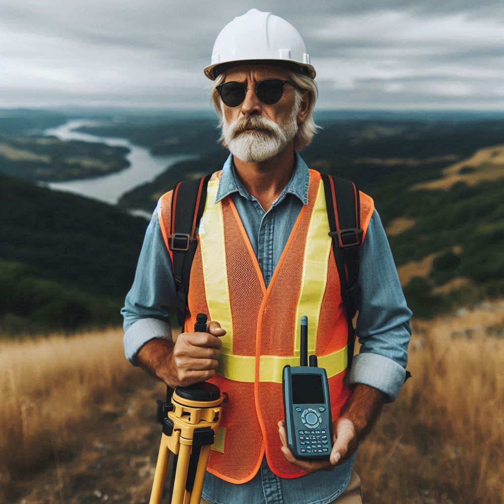
Common GPS devices used by surveying technicians include handheld GPS units and high-precision GPS receivers.
Handheld units are portable and suitable for general fieldwork.
These devices are often used for navigation and basic data collection.
High-precision GPS receivers are more advanced and used for detailed surveying tasks.
They can be mounted on tripods and connected to data collectors for enhanced accuracy.
Surveying technicians also use GPS-based total stations, which combine traditional total station functionality with GPS capabilities.
These devices provide precise angle and distance measurements alongside GPS data.
They are especially useful for large-scale surveys and construction projects.
Another example is Real-Time Kinematic (RTK) GPS systems.
RTK GPS offers real-time corrections to enhance accuracy.
These systems are used for applications requiring high precision, such as land surveying and engineering.
RTK GPS systems are often employed in conjunction with base stations to provide corrections for location data.
In addition, Network RTK systems extend the capabilities of RTK GPS.
They use a network of base stations to provide corrections across a wider area.
This setup allows for highly accurate surveying over large regions, improving efficiency and consistency in data collection.
GPS technology continues to advance, with newer models offering even greater accuracy and functionality.
The integration of GPS with Geographic Information Systems (GIS) further enhances data analysis and mapping.
Overall, GPS technology plays a crucial role in modern surveying, offering precise, reliable, and efficient tools for technicians.
Surveying technicians depend on GPS for accurate measurements and efficient data collection.
The technology‘s ability to deliver reliable results in real-time makes it indispensable in the field.
As GPS technology evolves, it will continue to improve surveying practices and outcomes.
Read: The Role of Aerospace Engineers in Satellite Development
Total Stations
Define Total Stations and Their Role in Surveying
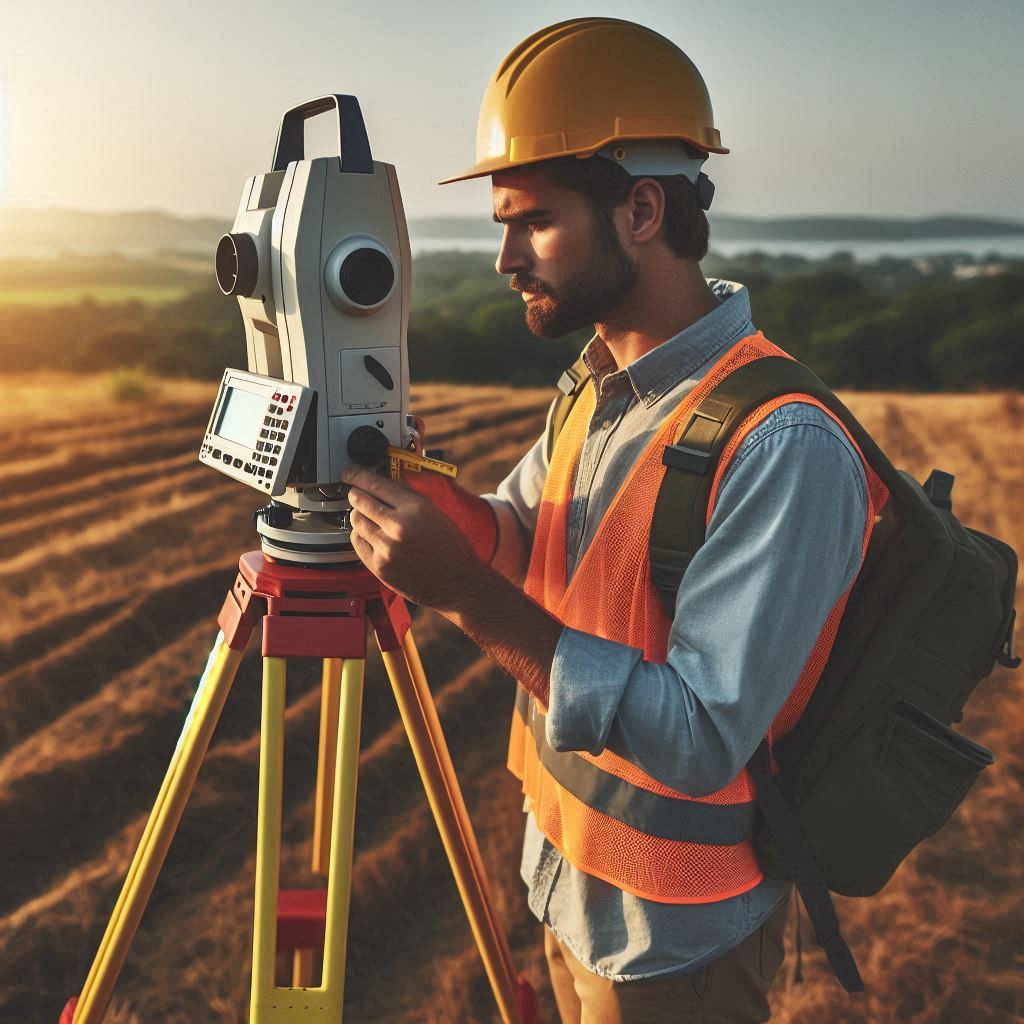
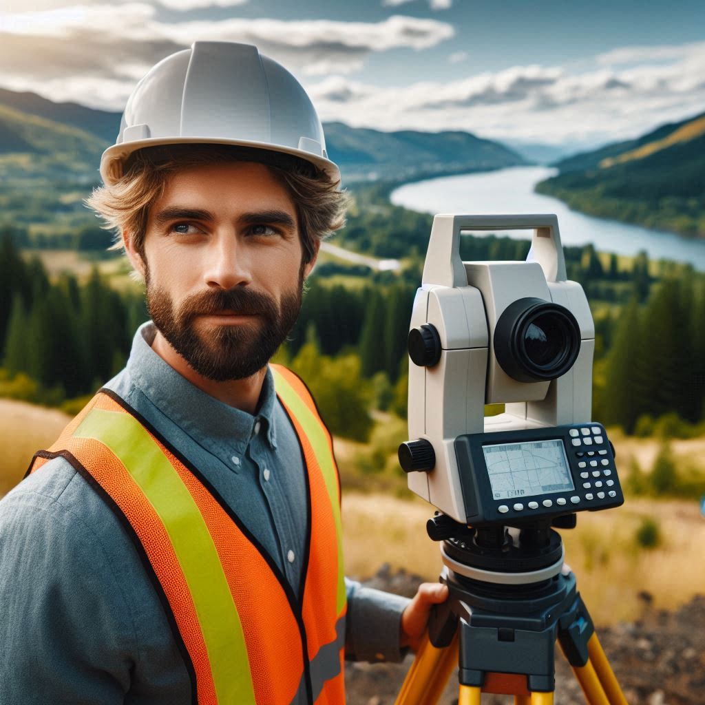
Total stations are advanced instruments used in surveying to measure angles, distances, and elevations.
They combine the functions of a theodolite and an electronic distance meter (EDM) into one device.
This integration allows for precise measurements and efficient data collection in a variety of surveying applications.
Total stations are essential for tasks such as land surveying, construction layout, and boundary determination.
The Features and Capabilities of Total Stations
Total stations come equipped with several key features that enhance their functionality.
They have an electronic theodolite that measures horizontal and vertical angles with high precision.
The EDM component calculates distances using laser or infrared technology.
Total stations also include built-in data collectors and processing units, which allow for real-time data analysis and storage.
Many models offer digital displays, GPS integration, and connectivity options for seamless data transfer.
How Total Stations Help Surveying Technicians Measure Angles, Distances, and Elevations
Total stations help surveying technicians measure angles by using the electronic theodolite.
This component captures precise horizontal and vertical angle measurements, which are crucial for accurate positioning.
To measure distances, the EDM emits a laser or infrared beam toward a target.
The device calculates the distance based on the time it takes for the beam to return.
For elevation measurements, total stations often use a combination of angle and distance data.
By determining the angle of elevation and the distance to a point, the system calculates the elevation difference between points.
This capability is essential for tasks such as contour mapping and elevation profiling.
Total stations also facilitate the creation of detailed survey data and maps.
They can be used in conjunction with software to generate accurate topographic maps and 3D models.
The integration of GPS technology with total stations further enhances their accuracy and versatility.
Surveying technicians rely on total stations for their ability to provide comprehensive data efficiently and accurately.
Overall, total stations are vital tools in modern surveying.
They combine precision measurements with advanced data processing to support a wide range of surveying applications.
Their features and capabilities make them indispensable for professionals seeking accuracy and efficiency in their work.
Read: Aerospace Engineering in Commercial Spaceflight
Drones
The Use of Drones in Surveying Applications
Drones have become a valuable tool in surveying applications due to their versatility and advanced technology.
They are used to capture aerial imagery and conduct detailed surveys from the sky.
Equipped with high-resolution cameras and various sensors, drones provide a unique perspective that traditional surveying methods cannot match.
They can cover large areas quickly, making them ideal for projects such as land surveys, construction monitoring, and environmental assessments.
The Benefits of Using Drones for Aerial Surveys and Mapping
Drones offer several benefits for aerial surveys and mapping.
They significantly reduce the time required to complete surveys compared to ground-based methods.
By flying over an area, drones can collect data from multiple angles and heights, creating comprehensive and accurate maps.
The high-resolution imagery provided by drones allows for detailed analysis and better decision-making.
Additionally, drones can access hard-to-reach or hazardous areas, enhancing safety for surveyors and reducing the need for physical presence in potentially dangerous locations.
How Drones Can Collect Accurate Data Efficiently and Safely
Drones collect accurate data efficiently through their advanced imaging and sensor technology.
High-resolution cameras capture detailed aerial photographs, while GPS and inertial measurement units (IMUs) provide precise location and orientation data.
Drones often use photogrammetry techniques to stitch together multiple images, creating detailed 3D models and maps.
The efficiency of drones comes from their ability to cover large areas in a short time, which speeds up the data collection process.
Automated flight plans allow drones to fly predetermined routes, ensuring consistent and repeatable data collection.
This automation also minimizes human error and enhances the reliability of the data.
In terms of safety, drones reduce the need for surveyors to work in risky or difficult terrain.
By operating remotely, drones eliminate the need for personnel to physically navigate hazardous sites, thereby reducing the risk of accidents and injuries.
The ability to monitor and control drones from a safe distance further enhances safety during surveying operations.
Overall, drones have transformed the field of surveying by providing accurate, efficient, and safe data collection methods.
Their advanced technology and versatility make them essential tools for modern surveying projects.
LiDAR Technology
LiDAR Technology and Its Applications in Surveying
The LiDAR (Light Detection and Ranging) technology uses laser pulses to measure distances and create detailed 3D representations of the Earth’s surface.
In surveying, LiDAR captures precise topographic data and generates high-resolution digital elevation models.
This technology is widely used for various applications, including land surveying, forestry management, and urban planning.
LiDAR provides accurate measurements of terrain, vegetation, and structures, making it invaluable for detailed spatial analysis and mapping.
How LiDAR Technology Captures Detailed 3D Images of Terrain
LiDAR technology captures detailed 3D images of terrain through a process of laser scanning.
A LiDAR sensor emits rapid laser pulses toward the ground.
When these pulses hit objects, they reflect back to the sensor.
The system measures the time it takes for the pulses to return and calculates the distance to each point.
By repeating this process thousands of times per second, LiDAR creates a dense point cloud that represents the surface features in 3D.
This point cloud data is then processed to generate detailed 3D models and maps of the terrain.
The Benefits of Using LiDAR Technology for Surveying Projects
LiDAR technology offers several benefits for surveying projects.
It provides exceptionally high accuracy and resolution, capturing fine details of the landscape.
The technology can penetrate vegetation, allowing surveyors to map both ground surfaces and vegetation layers.
This capability is particularly useful for applications like forestry management and floodplain mapping.
LiDAR also enhances efficiency by rapidly covering large areas.
Its ability to collect data from aircraft or drones allows for extensive surveys in a fraction of the time compared to traditional methods.
The resulting data is highly detailed and precise, which improves the quality of the survey outputs and supports better decision-making.
Moreover, LiDAR technology improves safety by reducing the need for surveyors to access difficult or dangerous terrain.
By using airborne LiDAR systems, surveyors can gather necessary data without physically navigating hazardous areas.
This approach minimizes risks and enhances overall safety during surveying operations.
In summary, LiDAR technology significantly benefits surveying projects through its accuracy, efficiency, and ability to capture detailed 3D terrain images.
Its advanced capabilities support a wide range of applications, making it a crucial tool for modern surveying practices.
Read: Essential Aerospace Engineering Textbooks

GIS Software
The Use of Geographic Information Systems (GIS) Software in Surveying
Geographic Information Systems (GIS) software is essential in surveying for managing, analyzing, and visualizing spatial data.
GIS software allows surveying technicians to create, store, and manipulate geographic information in a digital format.
It integrates various data types, including maps, satellite imagery, and survey data, into a cohesive system.
This integration helps in planning, decision-making, and executing surveying projects with greater precision and efficiency.
How GIS Software Helps Surveying Technicians Analyze and Visualize Data
GIS software aids surveying technicians in analyzing and visualizing data by providing powerful tools for data manipulation and representation.
Technicians can overlay multiple data layers, such as topographic maps, land use patterns, and infrastructure, to gain insights into spatial relationships and trends.
The software enables the creation of detailed maps and 3D models that help visualize complex data.
Analysts can perform spatial analyses, such as calculating distances, identifying patterns, and assessing environmental impacts, to support informed decision-making.
Transform Your Career Today
Unlock a personalized career strategy that drives real results. Get tailored advice and a roadmap designed just for you.
Start NowExamples of Popular GIS Software Used in the Industry
Several GIS software programs are widely used in the industry.
- ArcGIS: Developed by Esri, ArcGIS is one of the most popular GIS software platforms. It offers a comprehensive suite of tools for mapping, spatial analysis, and data management. ArcGIS is known for its robust functionality and extensive support for various data formats.
- QGIS: QGIS is an open-source GIS software that provides powerful tools for spatial analysis and data visualization. It is known for its user-friendly interface and strong community support. QGIS is widely used for its flexibility and cost-effectiveness.
- AutoCAD Map 3D: This software integrates GIS data with AutoCAD‘s drafting capabilities. It allows for advanced mapping and spatial analysis within a familiar CAD environment. AutoCAD Map 3D is useful for projects requiring detailed design and mapping integration.
- MapInfo Professional: Developed by Precisely, MapInfo Professional is known for its intuitive interface and strong data visualization tools. It is used for mapping, spatial analysis, and decision-making in various industries.
These GIS software options provide surveying technicians with the tools necessary to analyze, visualize, and interpret spatial data effectively.
Their capabilities enhance the accuracy and efficiency of surveying projects, supporting better planning and execution.
Read: Exploring Subfields of Aerospace Engineering
Mobile Mapping Systems
Mobile Mapping Systems and Their Capabilities
Firstly, Mobile mapping systems are advanced surveying tools that capture spatial data while in motion.
They are mounted on vehicles or other mobile platforms, allowing for the collection of geospatial information across extensive areas efficiently.
These systems integrate various technologies to gather detailed data about the environment, including roadways, buildings, and landscapes.
Mobile mapping systems are equipped with sensors, cameras, and GPS receivers to capture accurate and comprehensive data.
How Mobile Mapping Systems Combine GPS, LiDAR, and Imaging Technologies
Mobile mapping systems combine GPS, LiDAR, and imaging technologies to provide a complete spatial data solution.
GPS is used to track the precise location of the mobile platform, ensuring accurate georeferencing of the collected data.
LiDAR sensors emit laser pulses to measure distances and create detailed 3D point clouds of the environment.
Imaging technologies, such as high-resolution cameras, capture detailed photographs and videos of the surveyed area.
The integration of these technologies allows for the simultaneous collection of spatial coordinates, elevation data, and visual information, providing a rich and accurate dataset.
How Mobile Mapping Systems Enhance Efficiency and Accuracy in Surveying Projects
Mobile mapping systems enhance efficiency and accuracy in surveying projects by enabling rapid and comprehensive data collection.
The ability to gather data while moving allows surveyors to cover large areas in less time compared to traditional methods.
The integration of GPS, LiDAR, and imaging technologies ensures that the collected data is precise and well-documented.
This approach reduces the need for multiple site visits and manual measurements, streamlining the surveying process.
Additionally, mobile mapping systems improve data accuracy by combining multiple data sources into a unified dataset.
The precise GPS positioning, high-resolution LiDAR scans, and detailed imagery work together to create accurate and reliable survey results.
This comprehensive data collection also facilitates better analysis and decision-making, as surveyors can access a full view of the surveyed area in both 2D and 3D formats.
Overall, mobile mapping systems represent a significant advancement in surveying technology.
They offer increased efficiency and accuracy by integrating GPS, LiDAR, and imaging technologies, making them invaluable tools for modern surveying projects.
Delve into the Subject: Job Market Trends for Biomedical Equipment Technicians
Surveying Apps
The Availability of Surveying Apps for Smartphones and Tablets
Surveying apps for smartphones and tablets have become increasingly available and popular among surveying technicians.
These apps leverage the built-in GPS, camera, and processing capabilities of mobile devices to assist with field data collection and analysis.
They offer a convenient and portable solution for various surveying tasks, allowing technicians to perform measurements, capture data, and manage projects directly from their mobile devices.
The Features and Functionalities of Surveying Apps
Surveying apps come with a range of features and functionalities designed to support fieldwork. Key features often include:
- GPS Integration: Accurate location tracking and georeferencing for precise data collection.
- Data Capture: Tools for capturing measurements, photos, and videos directly within the app.
- Mapping and Plotting: Capabilities to create and edit maps, plot points, and draw boundaries.
- Real-Time Data Sync: Synchronization with cloud services or databases for real-time data access and sharing.
- Measurement Tools: Options for measuring distances, areas, and angles using the device’s sensors and camera.
- Annotation and Notes: Ability to add notes, annotations, and tags to captured data for better context and organization.
- Offline Functionality: Some apps allow for data collection and work offline, syncing when connectivity is restored.
These features enhance the efficiency of fieldwork by providing essential tools in a mobile format, improving data accuracy and project management.
Examples of Surveying Apps That Are Commonly Used by Technicians in the Field
Several surveying apps are widely used by technicians in the field:
- Survey123 for ArcGIS: Developed by Esri, this app allows for form-based data collection with GPS integration. It is ideal for field surveys, allowing technicians to collect and submit data using customized forms.
- Field Maps: Also from Esri, Field Maps combines mapping and data collection in one app. It provides tools for creating and editing maps, capturing field data, and performing real-time analysis.
- Locus Map: Locus Map offers GPS navigation, offline maps, and tracking features. It is used for various surveying tasks, including route planning and data collection.
- GeoODK Collect: This app facilitates data collection with customizable forms and integrates with various GIS systems. It is known for its versatility and support for offline work.
- Cogo: Cogo is a surveying app that provides tools for coordinate geometry calculations and data management. It is used for precise land measurement and planning tasks.
These apps significantly enhance the surveying process by providing technicians with powerful tools for data collection, analysis, and management directly on their mobile devices.
Their functionality supports various surveying needs, making fieldwork more efficient and streamlined.
Conclusion
The Key Points Discussed in the Blog Post
Technological tools such as GPS systems, drones, and 3D scanners play a pivotal role in modern surveying.
They significantly enhance precision, streamline data collection, and simplify complex surveying tasks.
The integration of these tools improves the accuracy of measurements and reduces the time needed for data analysis.
The Significance of Technological Tools in Modern Surveying Practices
The significance of these technological tools in modern surveying cannot be overstated.
They have revolutionized traditional practices by offering advanced solutions that improve both efficiency and accuracy.
GPS systems provide precise location data, drones capture detailed aerial imagery, and 3D scanners generate accurate 3D models.
These tools are now integral to successful surveying projects.
Encourage Surveying Technicians to Stay Updated on the Latest Advancements in Technology for Improved Efficiency and Accuracy in Their Work
Surveying technicians should stay abreast of the latest technological advancements.
Regular updates and training on new tools ensure enhanced efficiency and accuracy in their work.
Embracing these innovations is key to maintaining a competitive edge and achieving superior surveying results.
[E-Books for Sale]
The Big Book of 500 High-Paying Jobs in America: Unlock Your Earning Potential
$19.99 • 500 High-Paying Jobs • 330 pages
Explore 500 high-paying jobs in America and learn how to boost your career, earn more, and achieve success!
See All 500 High-Paying Jobs of this E-Book
1001 Professions Without a Degree: High-Paying American Jobs You Can Start Now
$19.99 • 1001 Professions Without a Degree • 174 pages
Discover 1001 high-paying jobs without a degree! Unlock career tips, skills, and success strategies for just $19.99!


