Introduction
The Topic of Surveying Technician vs.Mapping Technician
Surveying technicians and mapping technicians play distinct but complementary roles in the fields of civil engineering and geospatial technology.
Surveying technicians specialize in measuring land and defining property boundaries.
They collect precise data on site topography, elevations, and property lines, which is essential for construction and land development projects.
In contrast, mapping technicians use geographic information systems (GIS) to create detailed maps and analyze spatial data.
They transform raw data into visual formats that help in understanding geographical patterns and planning.
The Importance of Both Roles in the Fields of Civil Engineering and Geospatial Technology
The importance of both roles cannot be overstated.
Surveying technicians provide the foundational data needed for accurate site assessments and project planning.
Their work ensures that construction projects start with precise measurements and clear property boundaries.
Mapping technicians build on this data by generating comprehensive maps and performing spatial analyses.
Their work supports decision-making by visualizing data in ways that enhance understanding and planning.
Together, these roles ensure that civil engineering and geospatial technology projects are effectively planned, executed, and managed.
Job responsibilities of a surveying technician
Conducting Field Surveys to Collect Data on Land, Water, and Other Resources
Surveying technicians are essential for gathering data on land, water, and other resources.
They carry out field surveys to understand geographical features and dimensions.
This work involves measuring and recording various environmental elements, which are crucial for many planning and development projects.
Using Equipment Such as GPS Devices and Total Stations to Measure Distances and Angles
Surveying technicians rely heavily on advanced equipment to perform their duties.
GPS devices help them determine precise locations and coordinates with high accuracy.
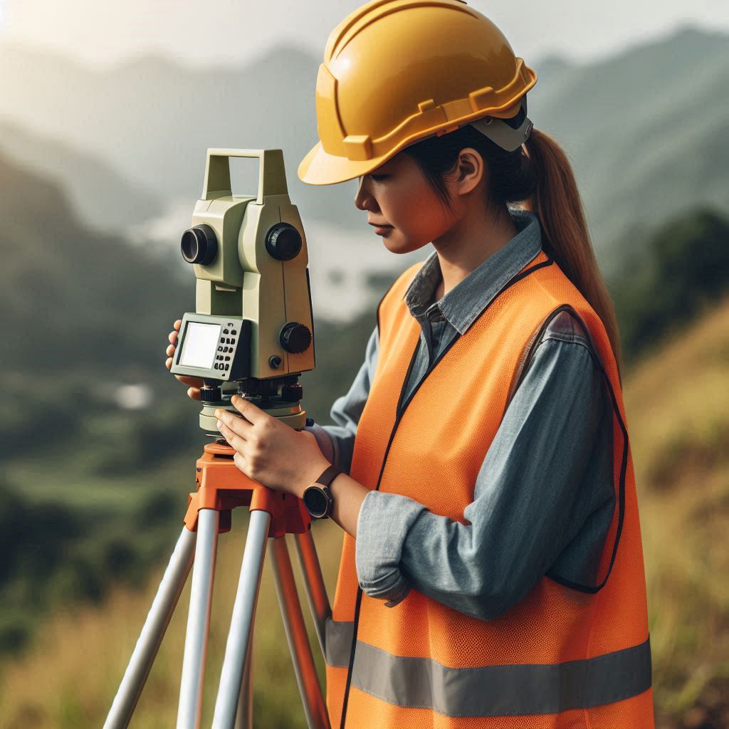
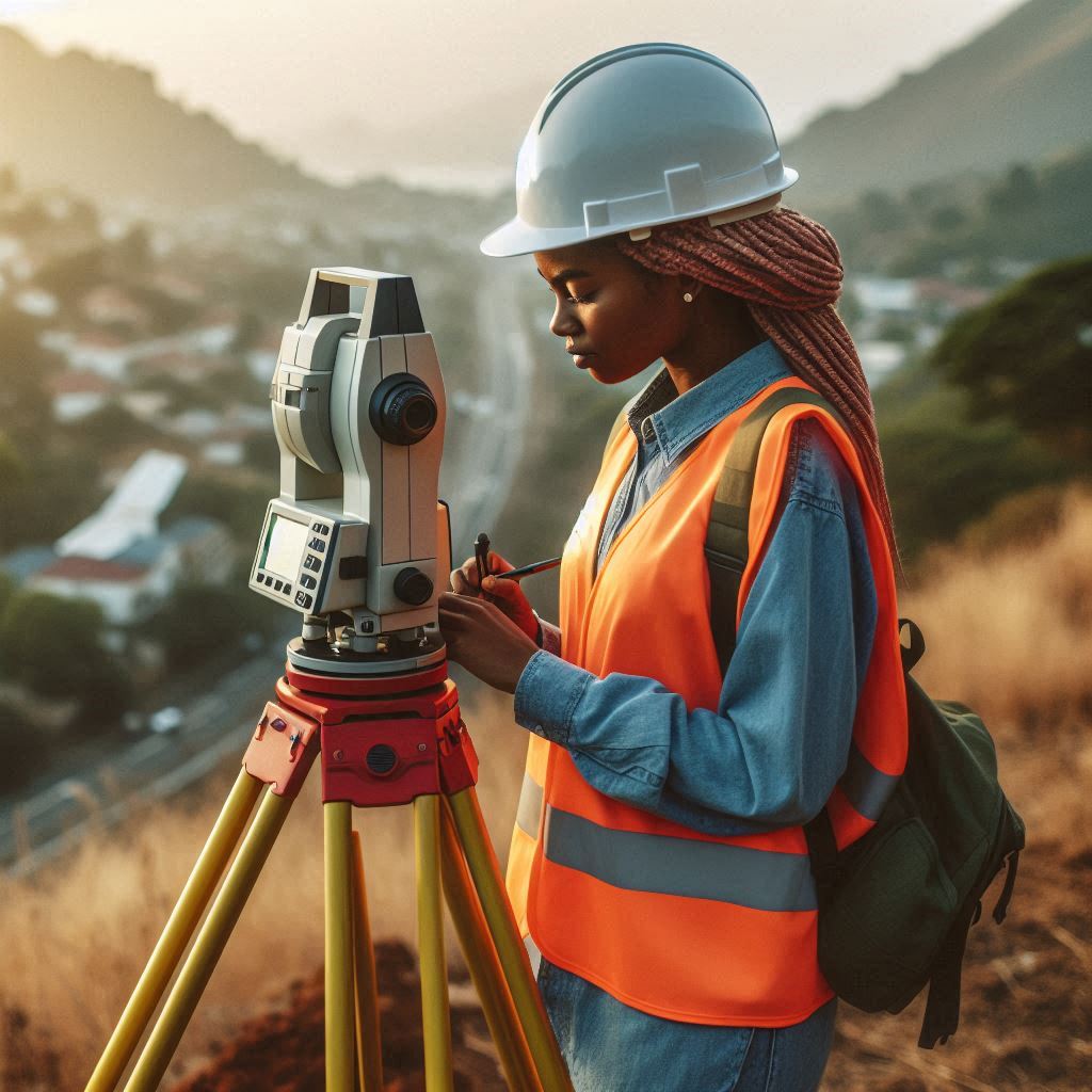
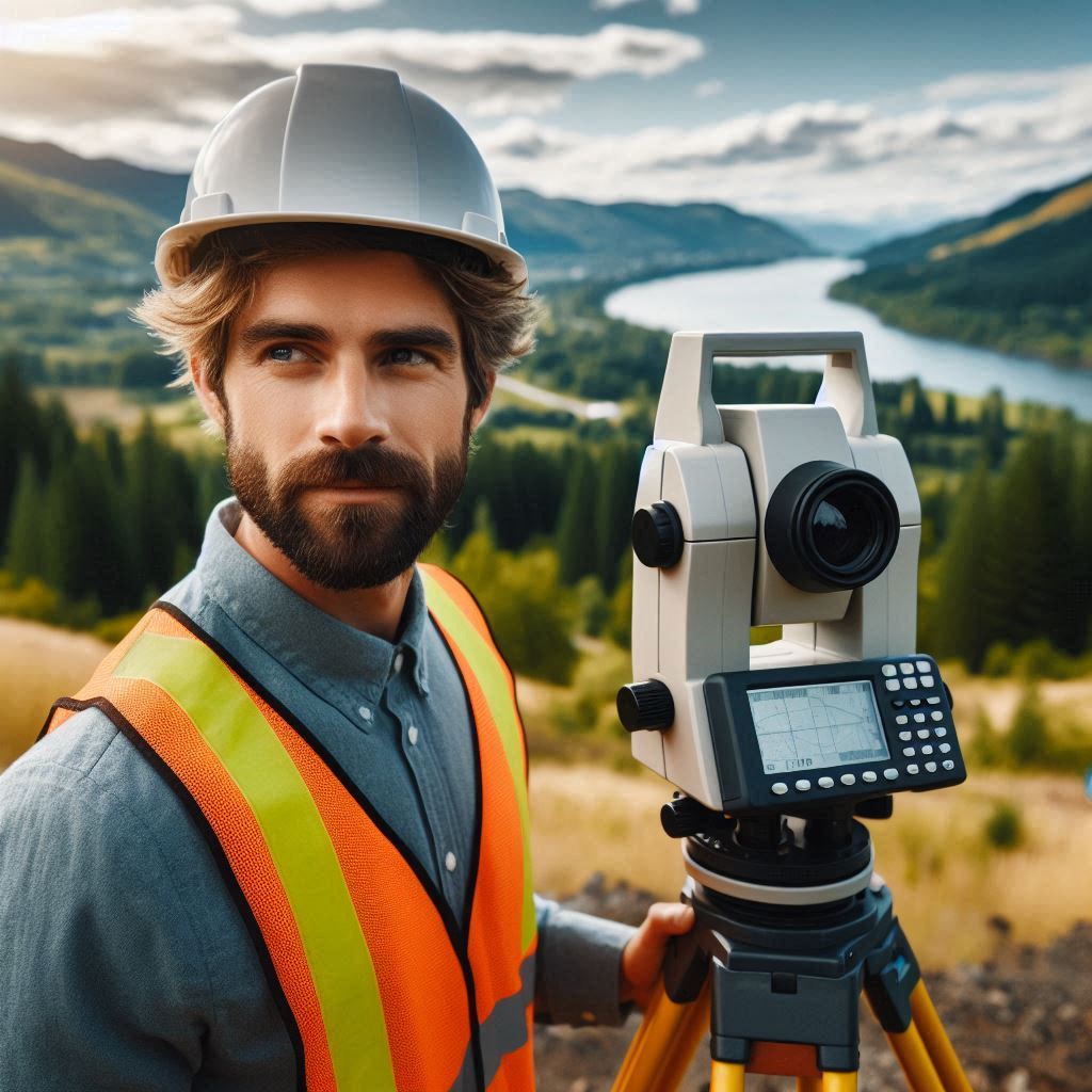
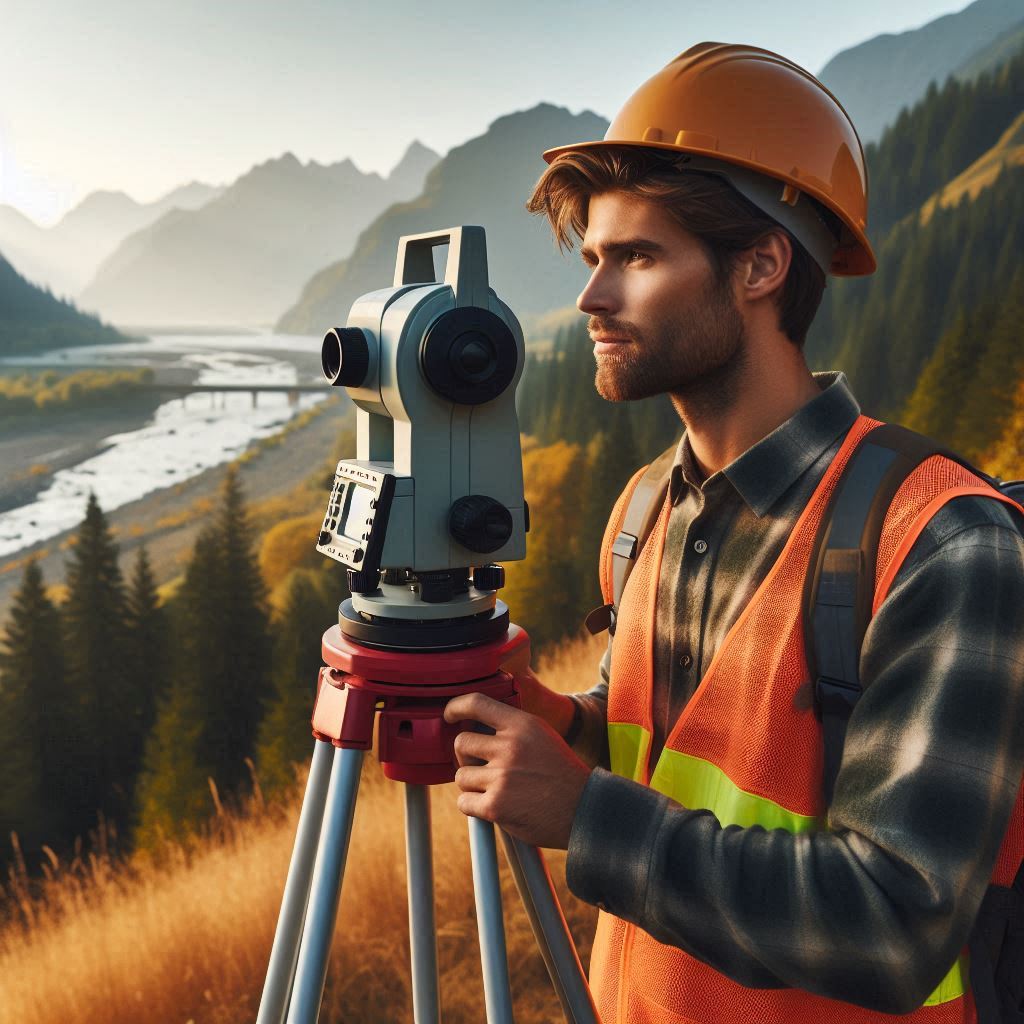
Total stations are used to measure distances and angles between points.
Mastery of these tools is vital for ensuring that the collected data is accurate and reliable.
Creating Maps and Reports Based on Collected Data
After collecting data, surveying technicians process and analyze it to create detailed maps and reports.
They use the gathered measurements to produce maps that reflect the surveyed area’s features accurately.
The reports provide a comprehensive overview of the data and are used for planning, construction, and resource management purposes.
In summary, surveying technicians conduct field surveys, use specialized equipment, and create essential maps and reports.
Their role is crucial for providing accurate spatial information needed for various applications.
Read: The Role of Aerospace Engineers in Satellite Development
Job responsibilities of a mapping technician
Using GIS Software to Analyze and Map Geographic Information
Mapping technicians utilize GIS software to analyze geographic data.
This software allows them to create and manipulate digital maps with precision.
They input and analyze various layers of data to produce detailed geographic representations.
Proficiency in GIS tools is essential for transforming raw data into useful, visual information.
Creating Digital Maps That Show Features Such as Roads, Buildings, and Topography
Mapping technicians are responsible for designing digital maps that display key features like roads, buildings, and topography.
They ensure these maps are accurate and visually clear.
This task involves combining various data sources to represent geographic features effectively.
High attention to detail is crucial to ensure the maps serve their intended purpose.
Collaborating with Surveying Technicians to Ensure Accurate Data Collection
Effective collaboration with surveying technicians is vital for mapping technicians.
They work together to ensure the data collected is accurate and meets the project’s requirements.
Mapping technicians use the data provided by surveying technicians to create detailed and reliable maps.
This teamwork helps in maintaining data accuracy and enhancing the quality of the final maps.
In summary, mapping technicians use GIS software to analyze geographic information, create detailed digital maps, and collaborate with surveying technicians.
Their work ensures that the maps produced are accurate and useful for various applications.
Read: Aerospace Engineering in Commercial Spaceflight
Required skills for surveying technicians
Strong Mathematical and Analytical Skills
Surveying technicians must possess strong mathematical and analytical skills.
These abilities are essential for accurately measuring distances, angles, and elevations.
They analyze data to ensure precision in their surveys.
Mathematical proficiency helps them solve complex problems and interpret data correctly.
Ability to Work Outdoors in Various Weather Conditions
Surveying technicians often work outdoors in diverse weather conditions.
They need to adapt to changing environments and weather patterns.
This ability ensures they can collect accurate data regardless of external conditions.
Flexibility and resilience are important traits for managing the challenges of outdoor work.
Knowledge of Surveying Equipment and Techniques
A thorough understanding of surveying equipment and techniques is crucial for surveying technicians.
They must be skilled in operating tools like GPS devices and total stations.
Familiarity with these instruments ensures accurate data collection and measurement.
Knowledge of surveying methods and best practices is essential for effective fieldwork.
In summary, surveying technicians require strong mathematical and analytical skills, the ability to work in varying weather conditions, and comprehensive knowledge of surveying equipment and techniques.
These skills are fundamental to performing their job effectively and ensuring accurate results.
Read: The Impact of Aerospace Engineering on Modern Life
Required skills for mapping technicians
Proficiency in GIS Software and Other Mapping Tools
Mapping technicians need to be proficient in GIS software and other mapping tools.
This expertise allows them to analyze and visualize geographic data effectively.
Mastery of these tools ensures that they can create accurate and detailed digital maps.
Familiarity with various mapping applications is crucial for their role.
Attention to Detail and Accuracy in Data Analysis
Attention to detail and accuracy in data analysis are vital skills for mapping technicians.
They must meticulously review and interpret data to ensure precision in their maps.
Small errors can lead to significant inaccuracies, so careful analysis and thorough checking are essential for reliable results.
Understanding of Cartography Principles and Map Design
A solid understanding of cartography principles and map design is crucial for mapping technicians.
They must be knowledgeable about how to represent geographic features clearly and effectively.
This includes knowing how to use symbols, scale, and color to convey information accurately.
Strong design skills ensure that maps are both functional and aesthetically pleasing.
In summary, mapping technicians require proficiency in GIS software and mapping tools, a keen attention to detail and accuracy, and a thorough understanding of cartography and map design principles.
These skills are essential for creating effective and accurate digital maps.
Educational Requirements for Surveying Technicians
Typically Require a Two-Year Associate Degree in Surveying Technology
Surveying technicians typically need a two-year associate degree in surveying technology.
This degree provides a solid foundation in surveying principles, techniques, and equipment.
Students learn about various aspects of surveying, including land measurement, data collection, and map creation.
The program often includes hands-on training with essential tools like GPS devices and total stations.
This practical experience is crucial for developing the skills needed for accurate and efficient surveying.
Some Positions May Require Certification or Licensure
In addition to the associate degree, some surveying technician positions may require certification or licensure.
Certification demonstrates a technician’s expertise and commitment to the profession.
It often involves passing an exam and meeting specific experience requirements.
Obtaining certification can enhance job prospects and professional credibility.
Licensure requirements can vary by region and may be necessary for certain roles.
Licensure typically involves meeting educational and experience criteria, passing a licensing exam, and adhering to professional standards.
This ensures that technicians meet the legal and ethical requirements for their work, contributing to the quality and reliability of surveying projects.
In summary, surveying technicians generally need a two-year associate degree in surveying technology.
Additional certification or licensure may be required depending on the job and location.
These qualifications are essential for performing accurate and reliable surveying work, and they help technicians advance in their careers.
Read: How Agricultural Engineers Improve Crop Yields
Transform Your Career Today
Unlock a personalized career strategy that drives real results. Get tailored advice and a roadmap designed just for you.
Start Now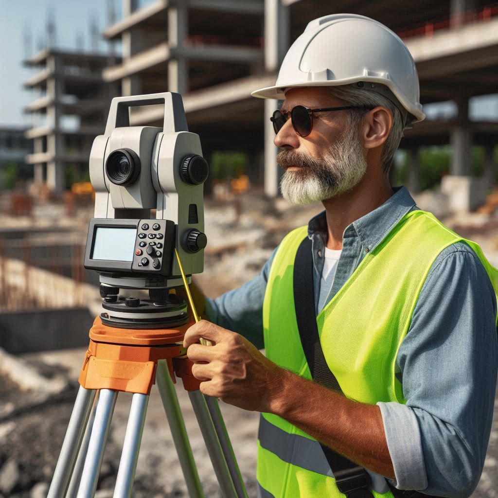
Educational requirements for mapping technicians
Typically Require a Bachelor’s Degree in Geography, Cartography, Geomatics, or a Related Field
Mapping technicians usually need a bachelor’s degree in geography, cartography, geomatics, or a related field.
This educational background provides a deep understanding of geographic information systems (GIS), cartographic principles, and spatial analysis techniques.
The degree program covers a wide range of topics, including data collection, map design, and geographic data interpretation.
Students learn how to work with different types of data, understand spatial relationships, and apply mapping techniques to create detailed and accurate representations of geographic features.
A bachelor’s degree also offers practical experience through coursework and projects, which helps students develop the skills needed to handle real-world mapping challenges.
This education prepares them for various roles in the field, from designing digital maps to analyzing spatial data for research or planning purposes.
Strong Background in GIS Software and Technology
In addition to the degree, mapping technicians need a strong background in GIS software and technology.
Proficiency in GIS tools is critical for analyzing geographic data and creating detailed digital maps.
Mapping technicians must be adept at using various GIS applications to input, manipulate, and visualize spatial data.
This technical expertise allows them to produce accurate maps that effectively represent features such as roads, buildings, and topography.
A solid understanding of GIS technology ensures that technicians can handle complex data sets and deliver high-quality results.
Familiarity with different mapping software and tools enables them to choose the most appropriate applications for specific tasks and projects.
This skill set is essential for generating maps that meet the needs of various stakeholders, from urban planners to environmental researchers.
In summary, mapping technicians typically require a bachelor’s degree in geography, cartography, geomatics, or a related field, combined with a strong background in GIS software and technology.
These educational qualifications and technical skills are essential for performing their job effectively and creating accurate, detailed maps for diverse applications.
Read: Biomedical Engineer: Working in Healthcare Tech
Career opportunities for surveying technicians
Can Work for Land Surveying Firms, Construction Companies, Government Agencies, and More
Surveying technicians have a range of career opportunities across various sectors.
They can work for land surveying firms, where they perform field surveys and provide data essential for property boundaries and land development.
Construction companies also employ surveying technicians to ensure accurate measurements for building projects, including site layout and structural analysis.
Government agencies offer additional career opportunities, where technicians may work on public projects such as infrastructure development, environmental assessments, and urban planning.
Other sectors where surveying technicians might find employment include real estate, utility companies, and engineering firms.
Each of these industries requires precise surveying data for successful project execution and compliance with regulations.
Opportunities for Advancement to Become a Licensed Surveyor
Surveying technicians can advance their careers by pursuing further education and obtaining licensure.
With experience and additional qualifications, they may become licensed surveyors.
This advancement typically requires passing a licensure exam and meeting specific educational and experience criteria.
Becoming a licensed surveyor opens up more opportunities for leadership roles and higher-level responsibilities, such as managing large projects or overseeing teams of technicians.
In summary, surveying technicians can work in various fields, including land surveying firms, construction companies, and government agencies.
Career advancement is possible through obtaining licensure and further education, which can lead to opportunities for higher-level positions and specialized roles in the surveying profession.
Career opportunities for mapping technicians
Can Work for GIS Companies, Environmental Organizations, Urban Planning Departments, and More
Mapping technicians have diverse career opportunities across multiple sectors.
They can work for GIS companies, where they handle spatial data analysis and map creation for various clients.
Environmental organizations also employ mapping technicians to create maps and analyze geographic data related to environmental conservation, resource management, and habitat studies.
Urban planning departments offer additional career paths, as mapping technicians contribute to city planning and development projects by providing detailed spatial data and analysis.
Other potential employers include real estate firms, transportation agencies, and utility companies, all of which require accurate mapping for their operations and planning needs.
Opportunities for Specialization in Areas Such as Remote Sensing or Geospatial Analysis
Mapping technicians also have opportunities for specialization in specific areas of mapping and spatial analysis.
Remote sensing is one such specialization, where technicians use satellite or aerial imagery to gather and analyze data about the Earth’s surface.
This field involves working with advanced imaging technology and software to monitor environmental changes, land use, and more.
Another area of specialization is geospatial analysis, which focuses on interpreting and analyzing spatial data to solve complex problems.
This might involve working with various types of geographic data to inform decision-making in sectors such as urban development, disaster management, and transportation planning.
Specializing in these areas can lead to advanced roles and increased expertise in the field.
In summary, mapping technicians can find career opportunities in GIS companies, environmental organizations, and urban planning departments.
They also have the potential to specialize in fields like remote sensing or geospatial analysis, offering pathways to advanced roles and specialized expertise.
Conclusion
The Key Differences Between Surveying Technicians and Mapping Technicians
Surveying technicians and mapping technicians play distinct but complementary roles in the fields of civil engineering and geospatial technology.
Surveying technicians focus on measuring land and creating accurate site plans.
Their primary tasks include determining property boundaries, measuring distances, and documenting site conditions.
They work directly in the field, collecting data that forms the basis for various construction and development projects.
Mapping technicians, in contrast, specialize in producing detailed maps and performing spatial data analysis.
They utilize Geographic Information Systems (GIS) to visualize and interpret spatial information, creating maps and models that represent geographic and spatial relationships.
The Importance of Both Roles in the Fields of Civil Engineering and Geospatial Technology
The roles of surveying and mapping technicians are essential for the success of civil engineering and geospatial technology projects.
Surveying technicians provide the crucial data needed for accurate construction and land use planning.
Their precise measurements ensure the integrity of project sites.
Mapping technicians enhance this data with detailed maps and spatial analysis, facilitating informed decision-making and project planning.
Their work supports a deeper understanding of spatial relationships, aiding in the effective execution and management of infrastructure projects.

