Introduction
Introduce the Role of a Surveying and Mapping Technician
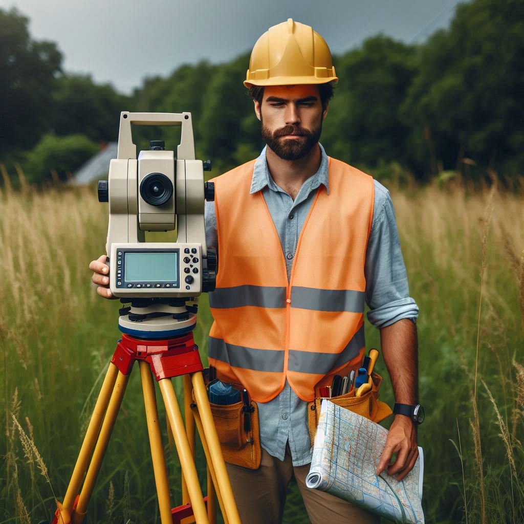
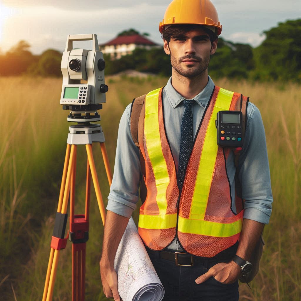
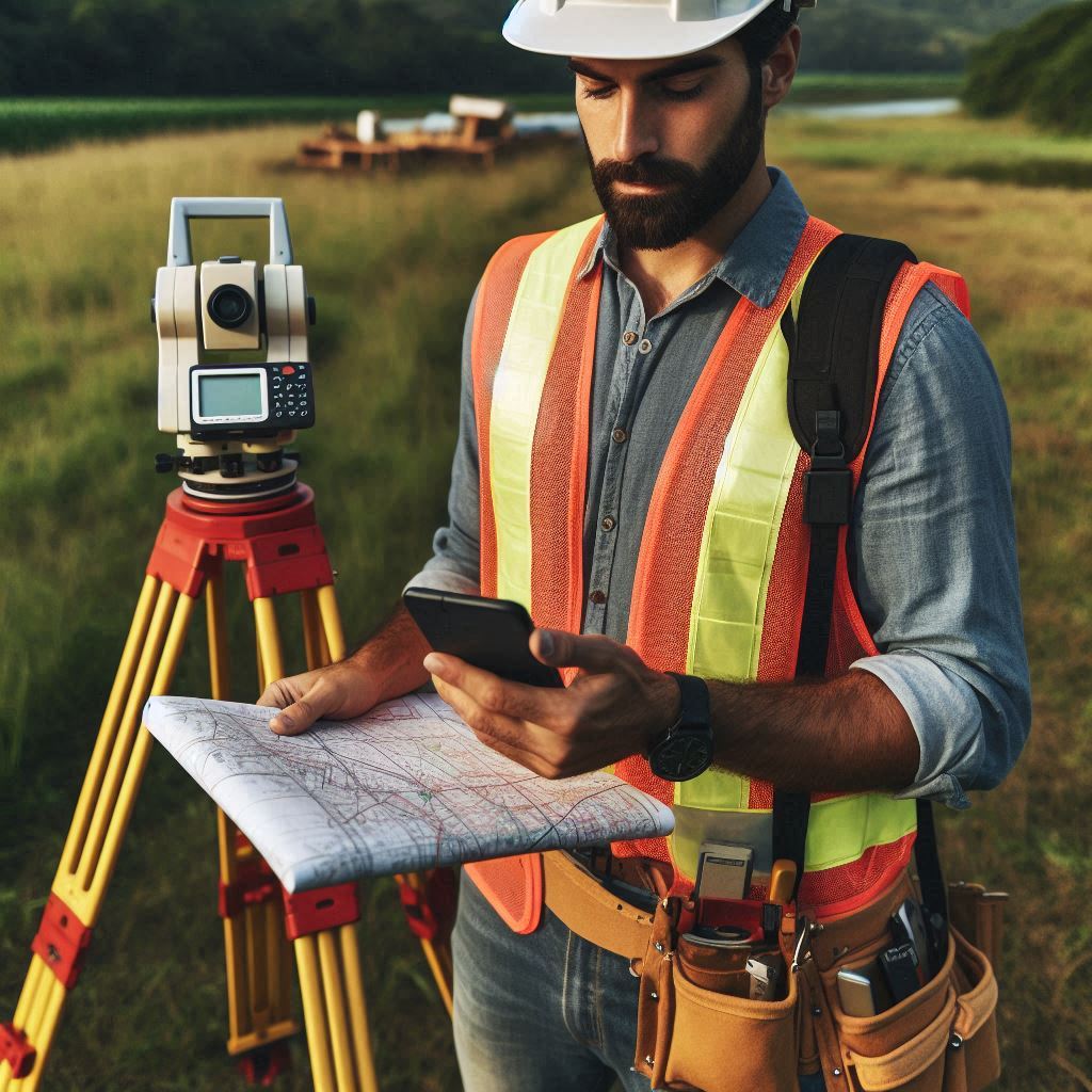
Surveying and mapping technicians play a crucial role in collecting and analyzing spatial data.
They use advanced tools to measure and map land features with precision.
This role requires technical skills and attention to detail to ensure accuracy.
The Importance of Surveying and Mapping in Various Industries
Surveying and mapping are vital across many industries, including construction, engineering, and urban planning.
Accurate data is essential for successful project execution, proper land use, and infrastructure development.
These technicians help create the foundation for various projects by providing reliable spatial information.
An Overview of the Key Responsibilities of a Surveying and Mapping Technician
Technicians are responsible for conducting surveys, processing collected data, and producing detailed maps.
They must ensure every measurement is accurate to avoid potential errors and complications.
This involves working with specialized equipment and software to deliver high-quality results.
Accuracy and precision are fundamental in surveying and mapping.
Technicians must meticulously check their work to maintain reliability.
For those interested in technology and data, a career in this field can be highly rewarding.
Pursuing further education can advance your skills and career opportunities in surveying and mapping.
Education and Training for Surveying and Mapping Technicians
The Educational Requirements Needed to Become a Surveying and Mapping Technician
To become a surveying and mapping technician, obtaining an associate’s degree is a common first step.
This degree typically covers essential subjects such as geometry, trigonometry, and geographic information systems (GIS).
The coursework provides a solid foundation in the principles and techniques used in the field.
Additionally, pursuing certification from the National Society of Professional Surveyors (NSPS) can further validate your expertise.
Certification often requires passing an exam and gaining relevant work experience.
Some regions also mandate state-specific licenses, adding another layer to the educational requirements.
The Importance of On-the-Job Training and Experience
On-the-job training is crucial for developing practical skills.
While academic programs offer theoretical knowledge, real-world experience is essential for mastering the field.
Training allows technicians to apply classroom concepts to actual surveying projects.
It also helps them become proficient with modern technology and field equipment.
Gaining hands-on experience is invaluable for understanding the nuances of data collection and analysis.
This experience not only enhances technical skills but also prepares technicians for more complex tasks and responsibilities.
Information on Relevant Courses and Certifications That Can Help in Advancing a Career in This Field
Several courses can boost career prospects for surveying and mapping technicians.
Classes in GIS, remote sensing, and cartography are particularly beneficial.
Advanced courses in photogrammetry and spatial analysis can provide deeper insights into specialized areas.
Many of these courses are available through community colleges, technical schools, or online platforms.
Furthermore, engaging in workshops and seminars can offer insights into emerging technologies and industry trends.
Professional organizations, such as the American Society for Photogrammetry and Remote Sensing (ASPRS), offer additional resources and networking opportunities.
Membership in these organizations can also provide access to industry journals and continuing education, further supporting career advancement.
Read: Essential Aerospace Engineering Textbooks
Data Collection
The Role of a Surveying and Mapping Technician in Collecting Data Through Various Methods
Surveying and mapping technicians play a vital role in data collection using diverse methods.
They utilize GPS technology to gather precise location data.
GPS allows for accurate positioning and is essential for creating detailed maps.
Total stations are another critical tool.
They measure angles and distances, combining these measurements to determine precise positions.
Technicians operate these devices to ensure accurate data is collected.
Drones are increasingly used for aerial surveys.
They capture high-resolution images and data from above, providing a comprehensive view of the area.
Each of these methods requires careful handling to ensure data quality and reliability.
The Importance of Accurate Data Collection for Creating Maps and Surveys
Accurate data collection is fundamental for creating reliable maps and surveys.
Precision in data ensures that the final product reflects true geographic and spatial information.
Inaccurate data can lead to errors in maps, which may result in costly mistakes or safety hazards.
For instance, incorrect land boundaries could lead to disputes or legal issues.
Thus, technicians must adhere to strict standards and use calibrated equipment to maintain accuracy.
The reliability of the entire mapping process hinges on the quality of the data collected.
The Use of Modern Technology in Data Collection Processes
Modern technology significantly enhances data collection processes.
GPS systems provide real-time location data with high accuracy.
Total stations have advanced features that improve measurement precision and ease of use.
Drones offer a bird‘s-eye view and can quickly cover large areas, capturing detailed imagery and data.
Additionally, software for data processing and analysis enables technicians to interpret and visualize data more effectively.
These technological advancements streamline the data collection process and improve overall efficiency.
Embracing new technologies helps technicians stay at the forefront of the industry and ensures the production of high-quality maps and surveys.
Read: The Impact of Aerospace Engineering on Modern Life
Field Work
The Typical Responsibilities of a Surveying and Mapping Technician in the Field
In the field, surveying and mapping technicians have several key responsibilities.
They start by setting up and calibrating surveying equipment to ensure accurate measurements.
Technicians often work outdoors, navigating various terrains to conduct surveys and collect data.
They also interact with clients and other stakeholders to understand project requirements and gather necessary information.
Fieldwork may involve assessing land features and preparing sites for detailed surveys.
Overall, technicians are responsible for executing surveys efficiently while adhering to safety and quality standards.
Tasks Such as Setting Up Equipment, Measuring Distances, and Recording Data
Setting up equipment is one of the primary tasks for technicians.
They ensure that GPS units, total stations, and other instruments are properly calibrated before starting the survey.
Measuring distances involves using various tools and techniques to obtain accurate readings.
Technicians must carefully align instruments and take multiple measurements to confirm accuracy.
Recording data is another crucial task.
Technicians document all measurements and observations meticulously.
This data is later used to create detailed maps and conduct analyses, making precise recording essential for the accuracy of the final results.
The Importance of Attention to Detail and Precision in Field Work
Attention to detail and precision are critical in fieldwork.
Small errors in measurement or data recording can lead to significant inaccuracies in the final maps and surveys.
Technicians must be vigilant in checking their work and ensuring that all equipment is functioning correctly.
Any mistakes can impact project outcomes and lead to costly corrections or safety issues.
Maintaining a high level of precision ensures that the data collected is reliable and that the resulting maps accurately represent the surveyed area.
Therefore, meticulous attention to detail is vital for successful surveying and mapping.
Read: How Agricultural Engineers Improve Crop Yields

Data Analysis
The Process of Analyzing Collected Data to Create Accurate Maps and Surveys
Analyzing collected data involves several critical steps to create accurate maps and surveys.
Technicians first import the data into specialized software for processing.
This software helps transform raw measurements into a digital format.
The next step is to clean and organize the data, removing any errors or inconsistencies.
Technicians then apply various algorithms and models to interpret the data and generate detailed maps.
They may overlay different data sets to create comprehensive surveys.
Finally, the data is reviewed to ensure that it meets the required standards before finalizing the maps.
The Role of Software and Technology in Data Analysis
Software and technology play a crucial role in data analysis.
Geographic Information Systems (GIS) are commonly used to visualize and analyze spatial data.
GIS software allows technicians to create layered maps, perform spatial analysis, and generate detailed reports.
Remote sensing software processes data from aerial surveys, such as those captured by drones, to produce high-resolution images.
Advanced analytical tools within these programs help in interpreting complex data sets and ensuring accuracy.
The integration of these technologies streamlines the analysis process and enhances the precision of the final outputs.
The Importance of Quality Control and Verification in Data Analysis
Quality control and verification are essential for accurate data analysis.
Technicians must rigorously check data for accuracy and consistency throughout the analysis process.
This includes validating measurements and cross-referencing data with original sources.
Implementing quality control procedures helps to identify and correct errors before finalizing the maps and surveys.
Verification processes, such as comparing results with known benchmarks or conducting additional surveys, ensure that the data meets the required standards.
By maintaining high quality control standards, technicians can produce reliable and accurate maps and surveys, ultimately supporting informed decision-making.
Read: Biomedical Engineering: Industry Outlook 2024
Collaboration with Surveyors and Engineers
The Importance of Working Closely with Surveyors and Engineers in Projects
Collaboration with surveyors and engineers is crucial for the success of surveying and mapping projects.
Surveyors provide essential data and measurements that form the foundation for project planning and development.
Engineers rely on this data to design and construct structures accurately.
Working closely ensures that surveyors and engineers have the most current and precise information for their work.
Effective collaboration helps streamline project workflows and prevents miscommunication that could lead to costly errors or delays.
Transform Your Career Today
Unlock a personalized career strategy that drives real results. Get tailored advice and a roadmap designed just for you.
Start NowHow Surveying and Mapping Technicians Support Surveyors and Engineers in Their Work
Surveying and mapping technicians support surveyors and engineers by performing essential fieldwork and data collection tasks.
They gather detailed measurements and observations, which are then used by surveyors to create accurate maps and plans.
Technicians often prepare and calibrate equipment, conduct surveys, and provide preliminary data analysis.
This support allows surveyors and engineers to focus on interpreting data and making design decisions.
Technicians also assist in troubleshooting equipment issues and ensuring that all data is collected according to project specifications.
The Need for Effective Communication and Teamwork in Collaborative Projects
Effective communication and teamwork are vital in collaborative projects involving surveyors and engineers.
Clear communication ensures that all team members understand project goals, timelines, and requirements.
Regular updates and discussions help to address any issues promptly and keep the project on track.
Teamwork enables the seamless integration of various tasks and expertise, leading to more efficient project execution.
By fostering a collaborative environment, teams can leverage each member’s strengths and skills, resulting in more accurate and successful project outcomes.
Read: Networking Tips for Biomedical Engineers
Project Management for Surveying and Mapping Technicians
The Role of a Surveying and Mapping Technician in Project Management
Surveying and mapping technicians play a crucial role in project management by overseeing various aspects of surveying projects.
They help develop project plans, outlining the scope, objectives, and methods for data collection.
Technicians coordinate fieldwork activities, ensuring that all tasks are executed according to the project requirements.
They also monitor progress, troubleshoot issues, and adjust plans as needed to keep the project on track.
Their role involves not only technical expertise but also the ability to manage resources and ensure that the project meets deadlines and quality standards.
Tasks Such as Creating Project Plans, Scheduling Field Work, and Overseeing Data Analysis
Creating project plans is one of the key tasks for technicians.
They define project goals, deliverables, and the methodologies to be used for data collection.
Scheduling fieldwork involves coordinating with team members and setting timelines for when surveys and measurements will be conducted.
Technicians are responsible for ensuring that all necessary equipment and resources are available and prepared.
Overseeing data analysis involves managing the process of data entry, processing, and interpretation.
Technicians ensure that data analysis is performed accurately and that results are reviewed and validated before finalizing the project.
The Importance of Time Management and Organization in Project Management
Time management and organization are essential for successful project management.
Technicians must balance multiple tasks and ensure that fieldwork, data analysis, and reporting are completed on schedule.
Effective time management helps in meeting deadlines and avoiding delays, which can impact project outcomes.
Organizational skills are crucial for maintaining accurate records, managing resources, and coordinating team efforts.
Proper organization ensures that all aspects of the project are executed smoothly and that any issues are addressed promptly.
By prioritizing tasks and maintaining an organized approach, technicians contribute to the overall efficiency and success of the project.
Quality Assurance in Surveying and Mapping Projects
The Significance of Quality Assurance in Surveying and Mapping Projects
Quality assurance is vital in surveying and mapping projects as it guarantees that data and final outputs are accurate and dependable.
Reliable data is critical for producing precise maps and conducting effective analyses.
Errors in data can lead to significant issues, including safety risks, legal disputes, and increased costs.
By implementing quality assurance measures, projects can adhere to high standards, ensuring that the results meet the necessary accuracy and reliability requirements.
Methods for Ensuring Accuracy and Reliability in Surveying and Mapping Data
Ensuring accuracy and reliability involves several key methods.
Calibration of equipment is essential to maintain precision in measurements.
Technicians regularly check and maintain instruments such as GPS units and total stations to avoid errors.
Redundancy is used by taking multiple measurements and comparing them to identify discrepancies.
Data validation methods, including cross-referencing with known benchmarks or previous data, help confirm accuracy.
Additionally, advanced software tools assist in detecting and correcting errors during data processing and analysis, enhancing the reliability of the final output.
The Role of Surveying and Mapping Technicians in Maintaining Quality Standards
Surveying and mapping technicians are crucial in upholding quality standards throughout the project.
They ensure that all equipment is accurately set up and calibrated before use.
During fieldwork, they follow strict procedures to minimize errors and collect precise data.
Technicians also perform initial data checks and validations to identify and correct issues early in the process.
Their meticulous attention to detail and adherence to industry standards are essential for producing high-quality, reliable maps and surveys.
By maintaining these standards, technicians contribute significantly to the overall success and accuracy of the project.
Uncover the Details: Essential Tools for Aerospace Engineers
Conclusion
The Key Responsibilities of a Surveying and Mapping Technician
Surveying and mapping technicians are essential in collecting and analyzing spatial data.
They measure land, create detailed maps, and ensure the accuracy of their work.
These professionals use advanced tools and technologies to gather precise measurements, which are crucial for construction, planning, and environmental management.
The Importance of Accuracy and Precision in Surveying and Mapping Work
Accuracy and precision are fundamental in surveying and mapping.
Even minor errors can lead to major issues in projects, affecting outcomes and safety.
Technicians must meticulously check their measurements and methods to ensure reliable data.
The integrity of their work directly impacts project success and compliance with regulations.
Encouragement to Consider a Career in Surveying and Mapping Technology and Further Education to Advance in the Field
A career in surveying and mapping technology offers exciting opportunities for those interested in data and technology.
It is a field that combines technical skills with practical applications.
Pursuing further education and specialized training can enhance your expertise and open doors to advanced positions.
If you have a passion for precision and innovation, this career path could be a rewarding choice.
[E-Books for Sale]
The Big Book of 500 High-Paying Jobs in America: Unlock Your Earning Potential
$19.99 • 500 High-Paying Jobs • 330 pages
Explore 500 high-paying jobs in America and learn how to boost your career, earn more, and achieve success!
See All 500 High-Paying Jobs of this E-Book
1001 Professions Without a Degree: High-Paying American Jobs You Can Start Now
$19.99 • 1001 Professions Without a Degree • 174 pages
Discover 1001 high-paying jobs without a degree! Unlock career tips, skills, and success strategies for just $19.99!

