Introduction
Overview of the Role of a Surveying and Mapping Technician
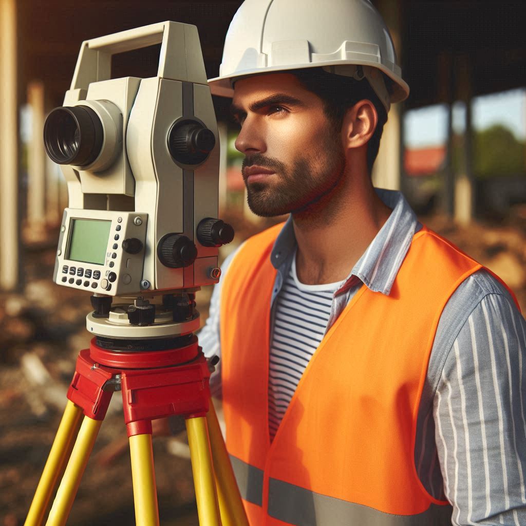
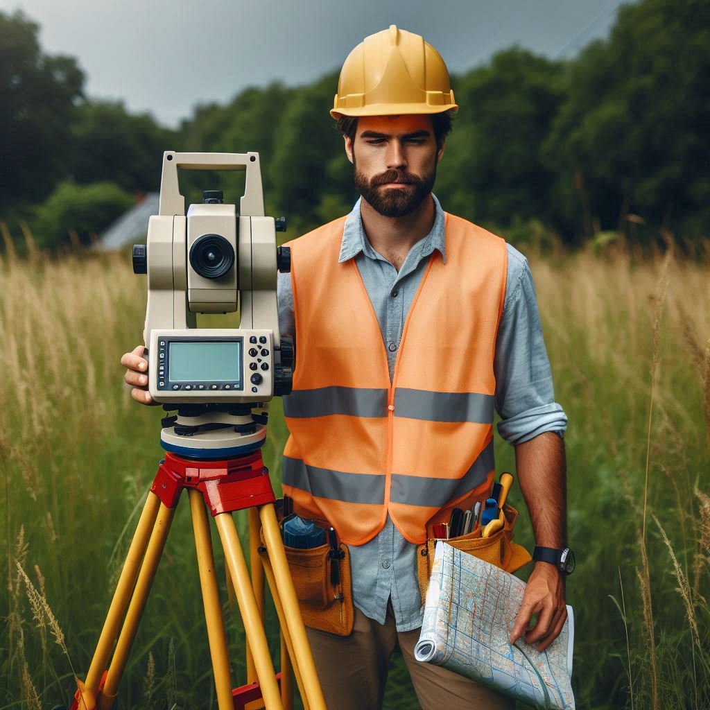
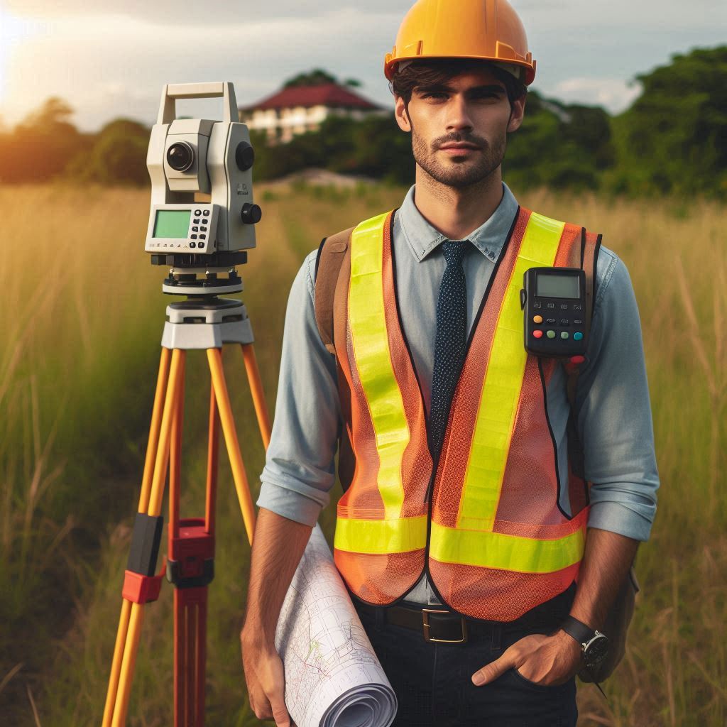
Surveying and mapping technicians are essential in capturing precise land measurements and creating detailed maps.
They utilize advanced instruments and technologies to collect data, which is crucial for various applications.
Their work involves interpreting measurements and ensuring data accuracy.
Importance of Surveying and Mapping in Various Industries
These technicians play a significant role in numerous industries, including construction, urban planning, and environmental management.
In construction, their measurements guide building projects and ensure structural integrity.
In urban planning, their maps help design efficient layouts and infrastructure.
Environmental management relies on their data for assessing and protecting natural resources.
The Blog Post to Provide Insight into the Responsibilities of a Surveying and Mapping Technician
This blog post aims to offer a clear understanding of the responsibilities and skills required for surveying and mapping technicians.
It highlights their critical role in various sectors and encourages individuals interested in this career path.
By pursuing a role in surveying and mapping, professionals can contribute meaningfully to community development and environmental conservation.
What is a Surveying and Mapping Technician?
Definition of the Role
A surveying and mapping technician is essential in gathering and analyzing spatial data for various projects.
This role involves using surveying instruments and software to create accurate maps and measurements.
Technicians support engineers, architects, and surveyors by providing crucial data for land and property assessments.
Their work ensures that planning, construction, and legal documentation are based on reliable information.
Skills and Qualifications Required
To excel as a surveying and mapping technician, specific skills and qualifications are necessary.
Most technicians hold an associate‘s degree in surveying technology or a related field.
Some roles may require a bachelor‘s degree, especially for more complex tasks.
Essential skills include proficiency in using surveying equipment like total stations and GPS systems.
Technicians must also be adept at mapping software for data analysis and presentation.
Strong mathematical and geographical knowledge is crucial for accurate measurements and calculations.
In addition to technical skills, problem-solving abilities and good communication are important.
Technicians often face challenges in the field and need to address them effectively.
They must also communicate clearly with clients and team members.
Physical stamina is required, as the job involves outdoor work in various weather conditions.
Importance of Precision and Attention to Detail in the Job
Precision and attention to detail are critical in the role of a surveying and mapping technician.
Accurate data collection and analysis are essential for the success of any project.
Even minor errors can lead to significant issues, such as delays or legal disputes.
Technicians must adhere to strict guidelines and standards to ensure their work is precise and reliable.
The impact of their accuracy extends to the entire project lifecycle.
From initial planning to final execution, precise measurements and data are fundamental.
They help avoid costly mistakes and ensure that projects adhere to legal and regulatory requirements.
Therefore, attention to detail is not just a skill but a fundamental aspect of the job.
In summary, surveying and mapping technicians play a vital role in managing and analyzing spatial data.
Their skills, including technical proficiency and problem-solving, are essential for the job.
Precision and attention to detail are critical to ensuring project success and avoiding costly errors.
Read: Biomedical Engineering: Regulatory Affairs
Responsibilities of a Surveying and Mapping Technician
Conducting Field Surveys Using Tools Such as GPS and Total Stations
One of the primary responsibilities of a surveying and mapping technician is conducting field surveys.
Technicians use advanced tools like GPS devices and total stations to collect precise measurements of land and property.
These instruments help determine geographical coordinates and elevation levels.
Field surveys often involve measuring distances, angles, and positions to gather data needed for accurate mapping.
Technicians must set up and calibrate these tools carefully to ensure data accuracy.
They also document observations and readings systematically during fieldwork.
Creating Accurate Maps and Charts Based on Survey Data
Another key responsibility is creating detailed maps and charts from the collected survey data.
Once field data is gathered, technicians use specialized software to analyze and interpret it.
They produce maps that represent the surveyed area, showing features like boundaries, elevations, and structures.
These maps are crucial for various applications, including construction planning, land development, and legal documentation.
Accuracy in map creation is vital, as these documents are often used for important decisions and must reflect true conditions on the ground.
Collaborating with Surveyors and Engineers to Ensure Project Success
Surveying and mapping technicians frequently collaborate with surveyors and engineers to achieve project goals.
Effective communication and teamwork are essential in this aspect of their role.
Technicians share survey data and insights with surveyors, who may need this information for further analysis or verification.
They also work closely with engineers to provide the necessary data for designing and planning infrastructure projects.
This collaboration helps ensure that all project requirements are met and that the data is integrated accurately into project plans.
In summary, the responsibilities of a surveying and mapping technician are diverse and critical to project success.
They involve conducting precise field surveys using advanced tools, creating accurate maps and charts, and collaborating effectively with other professionals.
Each of these tasks contributes to the overall accuracy and success of land and property projects.
Essentially, data collection and analysis are essential components of the work of surveying and mapping technicians.
By collecting accurate data on land features, analyzing it to create detailed maps and reports, and ensuring its accuracy and reliability, these technicians play a vital role in various fields, from construction to environmental planning.
Read: Graduate Studies in Biomedical Engineering
Data Collection and Analysis
Collecting Data on Land Features, Boundaries, and Other Relevant Information
Surveying and mapping technicians are responsible for collecting comprehensive data on land features and boundaries.
They use tools such as GPS systems and total stations to measure distances, angles, and elevations.
This data includes details about natural features like rivers and hills, as well as man-made structures such as roads and buildings.
Accurate data collection is essential for creating reliable maps and ensuring that all relevant land information is captured.
Technicians must follow precise procedures to gather this information correctly and systematically.
Analyzing Data to Create Detailed Maps and Reports
Once data is collected, technicians analyze it to produce detailed maps and reports.
They input the survey data into specialized software to generate visual representations of the surveyed area.
This analysis includes plotting land boundaries, elevations, and features to create accurate maps.
Reports are also generated to provide a written summary of the findings.
These maps and reports are crucial for planning, construction, and legal purposes, providing a clear and accurate depiction of the surveyed area.
Technicians must ensure that their analysis reflects true conditions and meets project requirements.
Ensuring the Accuracy and Reliability of Survey Data for Decision-Making Purposes
Accuracy and reliability are paramount in data collection and analysis.
Surveying and mapping technicians must verify the correctness of their data to avoid errors that could impact project outcomes.
They follow strict protocols and quality control measures to ensure data precision.
This includes double-checking measurements, calibrating instruments, and validating results through cross-referencing.
Reliable data is essential for making informed decisions in planning, construction, and legal matters.
Technicians play a critical role in ensuring that the data used is accurate and dependable, thereby supporting successful project execution.
In summary, data collection and analysis are central to the role of a surveying and mapping technician.
Collecting precise information on land features and boundaries, analyzing this data to create detailed maps and reports, and ensuring the accuracy and reliability of the data are all essential responsibilities.
These tasks ensure that the information used in decision-making is both accurate and trustworthy.
Read: Biomedical Engineering: Impact on Public Health

Use of Technology in Surveying and Mapping
Utilization of Geographic Information Systems (GIS) Software
Geographic Information Systems (GIS) software is a vital tool in modern surveying and mapping.
GIS software allows technicians to visualize, analyze, and interpret spatial data efficiently.
By integrating survey data into GIS, technicians can create detailed maps and layers that represent various land features and boundaries.
This software provides advanced analytical capabilities, helping to identify patterns and relationships within the data.
GIS also facilitates the management and updating of geographic information, making it easier to track changes over time and make informed decisions.
Integration of Drones for Aerial Surveys
Drones have revolutionized aerial surveying and mapping by offering a new perspective on data collection.
Equipped with high-resolution cameras and sensors, drones capture detailed images and data from above.
This aerial perspective allows for the efficient mapping of large areas and difficult-to-reach locations.
Drones can quickly gather data over expansive sites, reducing the time and cost of traditional survey methods.
They also provide a level of detail and accuracy that enhances the quality of maps and spatial analyses.
Integrating drone technology into surveying practices helps technicians achieve more comprehensive and accurate results.
Incorporating 3D Laser Scanning Technology for Precise Measurements
3D laser scanning technology provides exceptional precision in measuring and documenting physical spaces.
This technology captures millions of data points to create detailed 3D models of objects and environments.
The resulting point clouds represent accurate spatial dimensions and shapes, offering a high level of detail that traditional methods may miss.
3D laser scanning is particularly useful for capturing complex structures and intricate details in large-scale projects.
By incorporating this technology, technicians can enhance the accuracy of their surveys and produce highly detailed and reliable models for analysis and planning.
In summary, technology plays a crucial role in modern surveying and mapping practices.
GIS software enhances data visualization and analysis, drones provide efficient and detailed aerial surveys, and 3D laser scanning offers precise measurements.
These technological advancements significantly improve the accuracy, efficiency, and quality of surveying and mapping work.
Read: Biomedical Engineering: Industry Outlook 2024
Transform Your Career Today
Unlock a personalized career strategy that drives real results. Get tailored advice and a roadmap designed just for you.
Start NowFieldwork vs.Office Work
Balance Between Outdoor Fieldwork and Office-Based Tasks
Surveying and mapping technicians split their time between outdoor fieldwork and office-based tasks.
Fieldwork involves collecting data on-site using surveying instruments and equipment.
Technicians measure distances, angles, and land features, often working in various weather conditions.
Office work focuses on analyzing the collected data, creating maps, and preparing reports using specialized software.
Balancing these two aspects is crucial for the role.
While fieldwork provides the raw data needed for analysis, office work ensures that this data is accurately interpreted and documented.
Importance of Communication Skills in Working with Team Members and Clients
Effective communication is essential for surveying and mapping technicians.
In the field, technicians need to coordinate with team members to ensure that data is collected accurately and efficiently.
Clear communication helps prevent misunderstandings and errors during data collection.
When working with clients and other professionals, technicians must explain technical information and provide updates on progress.
Strong communication skills facilitate smooth collaboration, ensure that project requirements are met, and help address any issues that arise during both fieldwork and office tasks.
Maintaining Accuracy and Efficiency in Data Collection and Analysis
Maintaining accuracy and efficiency is critical in both fieldwork and office tasks.
In the field, technicians must use surveying instruments correctly and follow established procedures to gather precise data.
They need to ensure that measurements are accurate and recorded systematically.
In the office, efficiency is key in analyzing data and creating maps and reports.
Technicians must carefully check their work to prevent errors and ensure that the final products meet required standards.
Balancing accuracy with efficiency helps in delivering reliable results within project timelines.
In summary, surveying and mapping technicians manage a balance between outdoor fieldwork and office-based tasks.
Effective communication is vital for working with team members and clients, ensuring smooth project execution.
Maintaining accuracy and efficiency in both data collection and analysis is crucial for delivering high-quality results.
Career Opportunities and Growth Prospects
Potential for Advancement to Senior Surveying Positions
Surveying and mapping technicians have significant potential for career advancement.
With experience and additional education, technicians can move into senior surveying positions.
These roles often involve overseeing projects, managing teams, and making high-level decisions.
Senior positions may include roles such as project manager, senior surveyor, or surveying supervisor.
Advancement typically requires gaining professional certifications and demonstrating expertise in the field.
Career progression offers opportunities for increased responsibility and higher earning potential.
Opportunities for Specialization in Areas Such as Land Surveying or Cartography
Technicians can also specialize in specific areas of surveying and mapping, enhancing their career prospects.
Specializations include land surveying, which focuses on property boundaries and land use, and cartography, which involves map creation and design.
Other areas of specialization might include geodetic surveying, hydrographic surveying, or urban planning.
Specializing allows technicians to develop expertise in a niche area, making them valuable assets in their chosen field.
Specialization often leads to roles in consulting, advanced technical positions, or academic and research opportunities.
Demand for Skilled Surveying and Mapping Technicians in Various Industries
The demand for skilled surveying and mapping technicians is strong across various industries.
Real estate, construction, and civil engineering are primary sectors that rely on precise surveying and mapping.
Additionally, fields such as environmental management, urban planning, and infrastructure development also require these professionals.
As technology advances and new projects emerge, the need for accurate spatial data continues to grow.
Technicians who stay updated with industry trends and technologies will find ample job opportunities and career growth.
In summary, surveying and mapping technicians enjoy robust career opportunities and growth prospects.
Advancement to senior positions is possible with experience and further education.
Specialization in areas like land surveying or cartography provides additional career pathways.
The demand for skilled technicians spans multiple industries, offering a dynamic and rewarding career outlook.
Delve into the Subject: Future Trends in Telecommunications Technician Careers
Challenges in the Field
Dealing with Inclement Weather Conditions During Field Surveys
Surveying and mapping technicians often face challenges related to inclement weather.
Working outdoors means exposure to various weather conditions, including rain, snow, extreme heat, or cold.
These conditions can affect the accuracy of measurements and the functionality of surveying equipment.
Technicians must adapt to these challenges by using weather-resistant gear and adjusting their techniques as needed.
Effective planning and preparation can help mitigate the impact of adverse weather on field surveys, ensuring that data collection remains accurate and efficient despite the conditions.
Managing Multiple Projects and Deadlines Simultaneously
Another significant challenge is managing multiple projects and deadlines concurrently.
Technicians often juggle several assignments, each with its own set of requirements and timelines.
Prioritizing tasks and staying organized is crucial to meeting deadlines and maintaining high-quality work.
Effective time management and communication with clients and team members help ensure that each project progresses smoothly.
Balancing workload and ensuring timely delivery of results requires strong organizational skills and the ability to adapt to changing priorities.
Ensuring Adherence to Safety Protocols and Regulations in Surveying Work
Safety is a critical concern in surveying work, and adherence to protocols and regulations is essential.
Technicians must follow safety guidelines to protect themselves and their teams from potential hazards, such as working near traffic or unstable terrain.
They must also ensure that equipment is used properly and that all safety measures are in place.
Compliance with industry regulations and standards is necessary to avoid accidents and ensure the accuracy of the work.
Regular training and awareness of safety practices help technicians maintain a safe working environment and adhere to legal requirements.
In summary, surveying and mapping technicians face several challenges, including dealing with inclement weather, managing multiple projects, and adhering to safety protocols.
Overcoming these challenges requires adaptability, effective time management, and a strong commitment to safety.
Addressing these issues proactively ensures that fieldwork remains efficient and accurate while maintaining a safe working environment.
Gain More Insights: Latest Innovations in Geotechnical Engineering
Conclusion
The Key Responsibilities and Skills of a Surveying and Mapping Technician
Surveying and mapping technicians are vital in measuring land and creating detailed maps.
They collect and analyze data using advanced technology and tools.
Key responsibilities include ensuring precise measurements and interpreting data accurately.
Essential skills involve technical proficiency, attention to detail, and problem-solving abilities.
The Importance of the Role in Various Industries
The role of a surveying and mapping technician is crucial across multiple industries.
In construction, their data ensures accurate site planning and execution.
Urban planners rely on their expertise for designing functional and efficient spaces.
Environmental managers use their data to monitor and manage natural resources.
Their work directly impacts infrastructure development, environmental conservation, and overall project success.
Encouragement for Individuals Interested in Pursuing a Career in Surveying and Mapping Techniques
For those interested in a dynamic and impactful career, surveying and mapping offers numerous opportunities.
This field combines technology with hands-on work, providing a chance to influence community and environmental projects.
Consider exploring this career for a fulfilling and essential role in shaping our world.
[E-Books for Sale]
The Big Book of 500 High-Paying Jobs in America: Unlock Your Earning Potential
$19.99 • 500 High-Paying Jobs • 330 pages
Explore 500 high-paying jobs in America and learn how to boost your career, earn more, and achieve success!
See All 500 High-Paying Jobs of this E-Book
1001 Professions Without a Degree: High-Paying American Jobs You Can Start Now
$19.99 • 1001 Professions Without a Degree • 174 pages
Discover 1001 high-paying jobs without a degree! Unlock career tips, skills, and success strategies for just $19.99!


