Introduction:
GIS, or Geographic Information System, is a tool that captures, stores, analyzes, and displays spatial or geographic data.
Modern irrigation practices play a crucial role in agriculture by ensuring efficient water usage and maximizing crop yield.
This blog post will explore the significant role of GIS in modern irrigation practices and its impact on improving agricultural productivity.
Overview of GIS Technology
Geographic Information Systems (GIS) are powerful tools used to gather, manage, and analyze geographical data.
GIS technology allows us to visualize, interpret, and understand data in order to make informed decisions.
Here’s a breakdown of how GIS works and its benefits across various industries.
Explanation of Geographic Information Systems (GIS)
- GIS is a technology that captures, stores, analyzes, and presents geographical data.
- It involves mapping the earth’s surface and creating layers of information to analyze spatial relationships.
- GIS integrates both hardware and software to collect, manage, and analyze data efficiently.
How GIS Collects and Analyzes Spatial Data
- GIS collects data through various sources, including satellites, GPS, and surveys.
- It organizes data by layers, such as roads, buildings, land use, and vegetation.
- GIS analyzes spatial data through overlaying, proximity analysis, and spatial querying.
Benefits of Using GIS in Various Industries
- GIS provides valuable insights for urban planning, environmental management, and disaster response.
- It improves decision-making processes by visualizing data in maps, charts, and reports.
- GIS enhances communication by sharing information with stakeholders through interactive platforms.
GIS technology plays a crucial role in modern irrigation practices by helping farmers optimize water use, monitor crop health, and increase efficiency.
By utilizing GIS, farmers can make informed decisions based on real-time data, leading to sustainable agricultural practices and improved crop yields.
Importance of irrigation in agriculture
Irrigation plays a crucial role in ensuring adequate water supply for crops.
It helps in increasing crop yield and quality by providing the necessary moisture.
Farmers rely on irrigation to mitigate the risks of drought and uncertain rainfall patterns.
The significance of irrigation in crop production
Irrigation allows farmers to grow crops in regions with insufficient rainfall.
It ensures a consistent water supply for crops throughout their growing period.
Without irrigation, many crops would not be able to thrive in arid regions.
Challenges faced in traditional irrigation methods
Traditional irrigation methods are often inefficient in water usage.
Water wastage and uneven distribution are common issues with traditional systems.
Labor-intensive manual irrigation practices are not sustainable in the long run.
Need for modern irrigation practices for sustainable agriculture
Modern irrigation systems are designed to optimize water usage and minimize waste.
The use of technology like GIS allows for precise monitoring and control of water flow.
Sustainable agriculture practices can be achieved through the adoption of modern irrigation methods.
Uncover the Details: Mobile Marketing Strategies for Agricultural Products
Role of GIS in water management
- Monitoring water resources using GIS technology
- Mapping water availability and usage in agriculture
- Predicting water demand and optimizing irrigation scheduling
Monitoring water resources using GIS technology
GIS plays a crucial role in monitoring water resources.
It provides real-time data on the availability of water sources.
By utilizing GIS technology, water managers can track changes in water levels.
They can also monitor flow rates and quality.
Mapping water availability and usage in agriculture
One key application of GIS in irrigation is mapping water availability.
GIS helps farmers identify optimal locations for irrigation.
Additionally, it allows for assessment of soil moisture levels.
This aids in planning irrigation strategies based on crop water requirements.
Predicting water demand and optimizing irrigation scheduling
GIS enables water managers to predict water demand accurately.
This is done by analyzing historical and real-time data.
By integrating GIS with irrigation systems, farmers can optimize scheduling.
This ensures efficient water usage and improved crop yield.
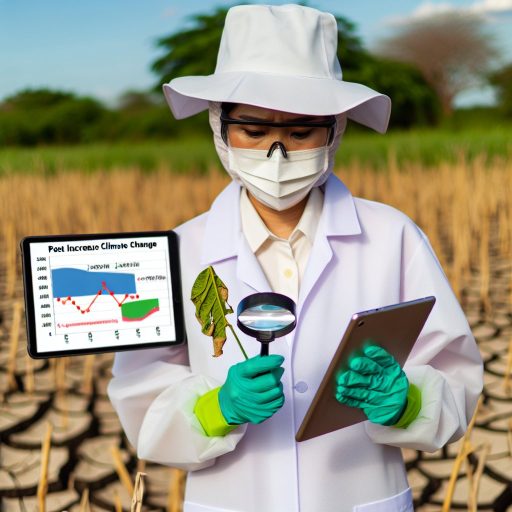
Gain More Insights: Impact of Climate Change on Pest Control Advisory
Implementing precision agriculture practices with GIS
Precision agriculture involves using technology to optimize crop yields while minimizing resources such as water, fertilizer, and pesticides.
GIS helps farmers analyze various factors affecting their fields.
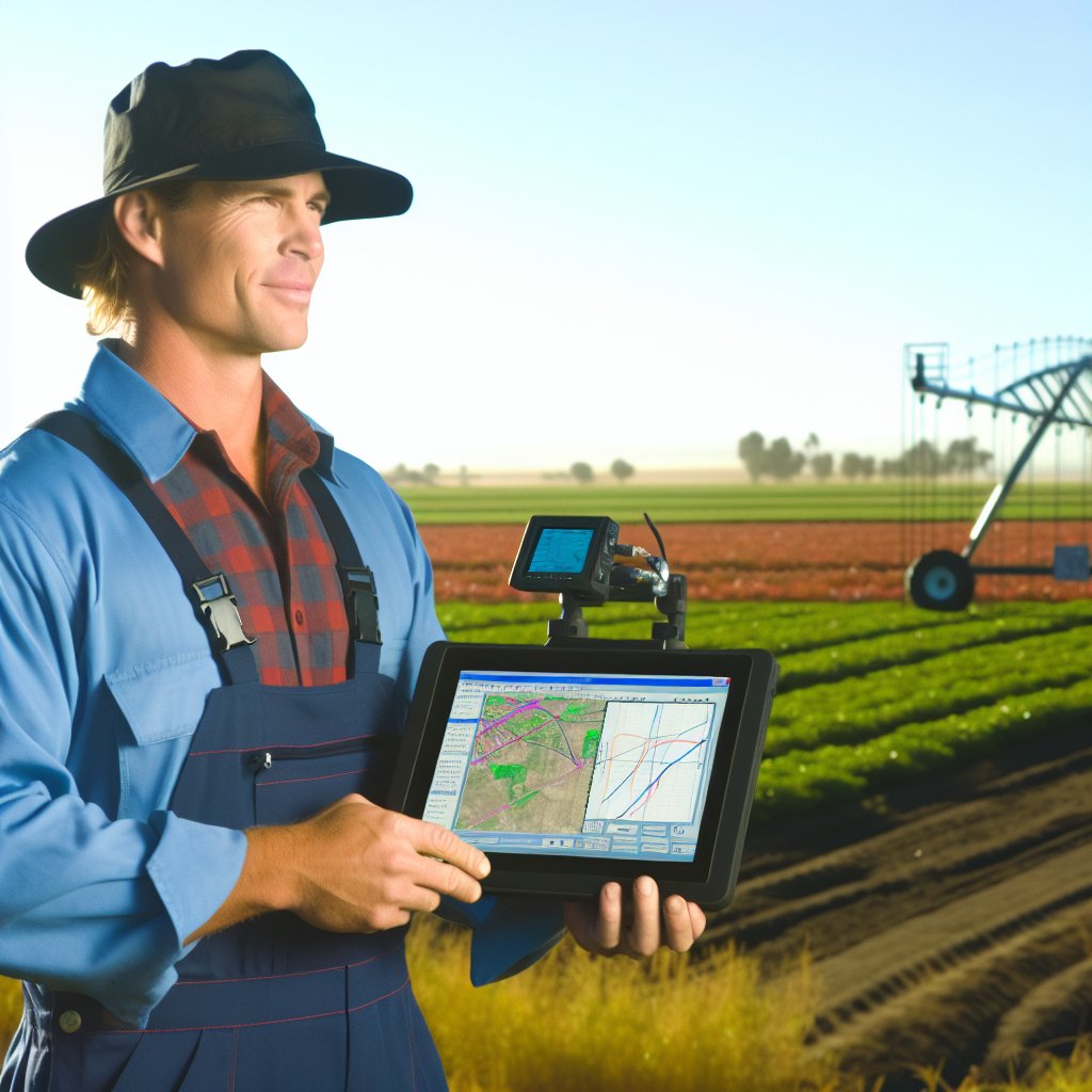
Using GPS technology for accurate irrigation
GPS technology allows farmers to precisely track their field boundaries and topography.
This information can be used to create irrigation schedules tailored to each specific area, ensuring that water is distributed evenly.
Mapping soil moisture levels for efficient water usage
GIS can be used to map out soil moisture levels across a field, helping farmers identify areas that are too dry or too wet.
This information enables them to adjust irrigation settings accordingly, saving water and reducing costs.
Transform Your Career Today
Unlock a personalized career strategy that drives real results. Get tailored advice and a roadmap designed just for you.
Start NowBy combining precision agriculture practices with GIS technology, farmers can make data-driven decisions to optimize their irrigation practices.
This leads to increased crop yields and sustainability in agriculture.
Delve into the Subject: How Agricultural Consultants Influence Agribusinesses
Impact of GIS on Crop Yield and Quality
GIS plays a crucial role in modern irrigation practices.
It enables farmers to make informed decisions.
These decisions directly impact crop yield and quality.
By utilizing GIS technology, farmers can analyze soil fertility and crop health.
They can monitor crop development.
Farmers can also identify potential issues that could affect crop productivity.
Using GIS to Analyze Soil Fertility and Crop Health
- GIS tools allow farmers to collect data on soil properties.
- By mapping soil fertility, farmers can identify areas needing nutrients.
- GIS technology enables tracking soil health over time.
Monitoring Crop Development and Identifying Potential Issues
- GIS software provides real-time data on crop growth.
- Farmers can identify potential issues such as pest infestations.
- GIS helps visualize crop growth patterns, enabling quick responses.
Improving Crop Yield and Quality Through Data-Driven Decisions
- GIS technology empowers farmers to make data-driven decisions.
- Analyzing historical data helps optimize irrigation schedules.
- GIS facilitates collaboration among farmers and researchers.
GIS has a significant impact on crop yield and quality.
It enables farmers to analyze soil fertility and crop health.
Also, it helps monitor crop development.
Data-driven decisions optimize productivity and sustainability in irrigation.
Discover More: Day in the Life of a Plant Pathologist
Case Studies on Successful Implementation of GIS in Irrigation
Many farms and regions have successfully utilized GIS technology for irrigation management.
This has resulted in significant benefits and valuable lessons for others to adopt.
Examples of Farms or Regions Utilizing GIS for Irrigation
- Agricultural farm in California implemented GIS for precision irrigation to optimize water usage.
- Government project in Australia utilized GIS for mapping irrigation networks and monitoring water resources.
- Large-scale rice fields in Thailand integrated GIS for real-time monitoring of water levels and soil moisture.
Benefits Observed from Integrating GIS Technology
- Improved water efficiency and conservation through precise irrigation scheduling based on GIS data.
- Enhanced crop yield and quality by ensuring optimal moisture levels and nutrient distribution.
- Reduced operational costs and resources by minimizing water waste and energy consumption.
Lessons Learned and Best Practices for Others to Adopt
- Start with proper data collection and analysis to create accurate GIS models for irrigation planning.
- Train personnel on GIS tools and techniques to effectively utilize the technology for irrigation management.
- Regularly update GIS data and software to ensure the accuracy and relevance of irrigation maps and planning.
- Collaborate with experts and stakeholders to leverage GIS insights for sustainable irrigation practices and decision-making.
Modern Irrigation Practices and GIS
When it comes to modern irrigation practices, Geographic Information Systems (GIS) play a crucial role in optimizing water usage and improving efficiency.
However, like any technology, GIS also comes with its own set of challenges and limitations that need to be addressed.
Technical Challenges in Implementing GIS for Irrigation
- Integration with existing irrigation systems
- Compatibility with different software and hardware
- Data storage and processing requirements
- Network infrastructure for real-time data transmission
Data Accuracy and Reliability Issues
- Quality of input data affects the accuracy of results
- Errors in data collection and processing
- Lack of real-time data updates
- Reliability of satellite imagery for mapping and monitoring
Training and Expertise Required for Effective Use of GIS Technology
- Specialized knowledge in GIS software and tools
- Understanding of spatial data analysis techniques
- Interpretation of GIS-generated maps and reports
- Continuous training and skill development for users
Despite these challenges, the benefits of using GIS in irrigation practices outweigh the limitations.
By addressing these issues through proper planning, training, and investment in technology, farmers and irrigation professionals can harness the power of GIS to make informed decisions and improve water management strategies.
Implications of Geographic Information Systems in Irrigation
Geographic Information Systems (GIS) play a crucial role in modern irrigation practices.
They provide accurate and real-time data for effective water management.
Utilizing GIS technology allows farmers to optimize irrigation processes.
This leads to water conservation, increased crop yields, and cost savings.
The benefits of using GIS for sustainable agriculture are evident.
GIS enables precision farming techniques and reduces environmental impact.
It is essential for farmers and policymakers to leverage GIS tools.
They can improve irrigation practices, enhance food security, and promote sustainable agriculture.
By integrating GIS into irrigation systems, stakeholders can ensure efficient water use.
This minimizes wastage and mitigates water-related challenges in agriculture.
A call to action is necessary for all involved in the agriculture sector.
They should embrace GIS technology for sustainable and effective irrigation practices.
Additional Resources
Role of Precision Irrigation Methods in Modern Farming – GeoPard …
The Declining Ogallala Aquifer and the Future Role of Rangeland …