Introduction
Overview of the Job of Surveying and Mapping Technicians
Surveying and mapping technicians collect and analyze data on land and structures.
They use advanced tools and techniques to ensure accurate measurements and mapping.
Their role is critical in providing precise data for various applications.
Importance of Surveying and Mapping in Various Industries
These technicians are indispensable in construction, urban planning, and environmental management.
They provide crucial data for designing infrastructure, managing land use, and conserving natural resources.
Accurate surveying and mapping are essential for informed decision-making and efficient project execution.
Purpose of the Blog Post to Discuss the Job Outlook for Surveying and Mapping Technicians
The purpose of this blog was to evaluate the future outlook for surveying and mapping technicians.
We examined the rising demand for their skills and the impact of technological advancements on their profession.
The job outlook for these technicians is positive, with increasing opportunities driven by industry growth and innovation.
In summary, surveying and mapping technicians play a vital role across industries.
Their expertise will continue to be in high demand, supported by ongoing advancements and industry needs.
What surveying and mapping technicians do
Role of Surveying and Mapping Technicians in Collecting Data and Creating Maps
Surveying and mapping technicians are vital in gathering data and producing maps.
They assist surveyors in measuring land and mapping its features accurately.
Technicians collect data that informs various projects like construction and land development.
Their work ensures that maps and charts reflect precise geographical information.
This data is crucial for planning, designing, and implementing projects effectively.
Types of Equipment and Technology Used by Surveying and Mapping Technicians
Technicians use a range of specialized equipment in their roles.
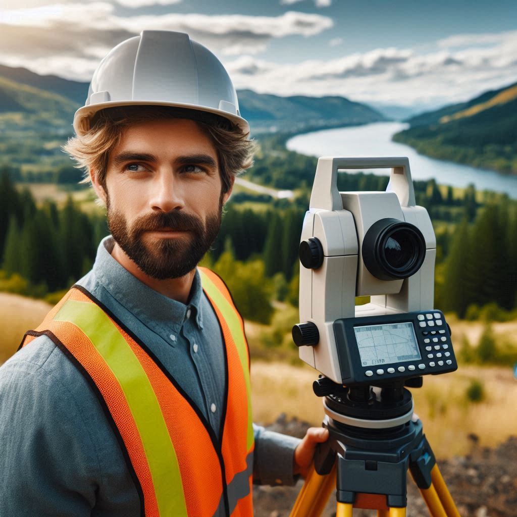
Total stations measure angles and distances with high accuracy.
GPS units provide precise location data essential for mapping.
Levels determine elevation differences across land.
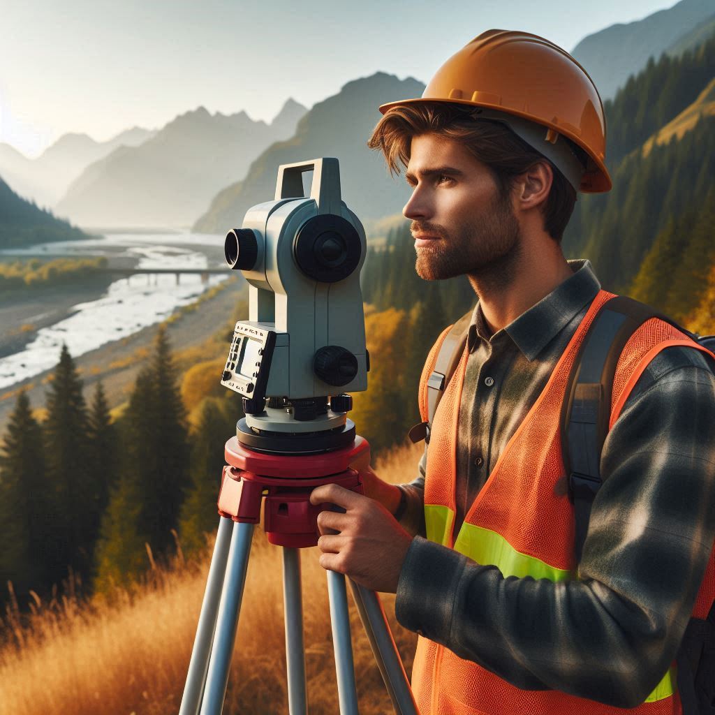
Theodolites measure horizontal and vertical angles.
Modern surveying often involves drones and laser scanners for detailed topographical data.
Each tool plays a role in ensuring accurate and reliable map creation.
Skills Required for This Job, Such as Attention to Detail and Problem-Solving
Attention to detail is critical for surveying and mapping technicians.
Small errors can lead to significant problems in data accuracy.
Technicians must also possess strong problem-solving skills to overcome challenges encountered during surveys.
Proficiency in using specialized equipment and technology is necessary.
They need technical knowledge in software for data analysis.
Good communication skills are important for effective teamwork and client interactions.
Read: The Role of Aerospace Engineers in Satellite Development
Job growth and demand for surveying and mapping technicians
Statistics on the Expected Job Growth in the Field
The job outlook for surveying and mapping technicians is promising.
According to the U.S.Bureau of Labor Statistics, employment in this field is expected to grow by 7% from 2021 to 2031.
This rate is faster than the average for all occupations.
As technology advances and new projects arise, the demand for skilled technicians will continue to rise.
Factors Driving the Demand for Surveying and Mapping Technicians
Several factors are fueling the demand for surveying and mapping technicians.
Infrastructure development is a major driver, as new roads, bridges, and buildings require accurate land measurements.
Urban expansion and land redevelopment projects also contribute to this demand.
Environmental monitoring is another key factor.
As climate change and natural resource management gain importance, precise mapping becomes essential.
These factors ensure a steady need for technicians to provide accurate data and support various projects.
Opportunities for Advancement Within the Field
Surveying and mapping technicians have various opportunities for career advancement.
With experience, they can move into supervisory roles or become project managers.
Specialization in advanced technologies, such as drone surveying or geographic information systems (GIS), can lead to higher-level positions.
Technicians may also choose to pursue additional certifications or education to qualify for roles in engineering or urban planning.
As the field evolves, continuous learning and skill development offer pathways to career growth.
Read: Aerospace Engineering in Commercial Spaceflight
Industries that employ surveying and mapping technicians
Overview of the Industries That Rely on Surveying and Mapping Services
Surveying and mapping technicians are employed across various industries.
The construction industry is one of the largest employers.
Accurate land measurements and maps are crucial for building design and site preparation.
Real estate companies also rely on these technicians to assess properties and provide data for transactions.
Government agencies employ technicians for public works projects, land management, and environmental monitoring.
These industries depend on precise data to make informed decisions and ensure project success.
Examples of Projects Where Surveying and Mapping Technicians Are Essential
Surveying and mapping technicians are vital for numerous projects.
In construction, they are involved in designing new highways, bridges, and buildings.
Their work ensures that these structures are built accurately and safely.
In real estate, technicians provide property boundary surveys for buyers and sellers.
For government projects, they assist in urban planning, flood risk assessments, and infrastructure maintenance.
Environmental projects, such as habitat restoration and natural resource management, also rely on their expertise to gather and analyze data.
Potential for Specialization Within Different Industries
Technicians can specialize within various industries to enhance their career prospects.
In construction, they might focus on high-precision surveying or geodetic measurements.
In real estate, specialization could include property boundary disputes or land-use planning.
Government roles might involve expertise in environmental surveying or public infrastructure.
Technicians can also specialize in using advanced technologies like GIS or drone surveying.
Specialization not only enhances job opportunities but also allows technicians to become experts in their chosen field.
Read: Essential Aerospace Engineering Textbooks

Geographic Distribution of Surveying and Mapping Technician Jobs
States and Regions with the Highest Concentration of Surveying and Mapping Technician Jobs
Surveying and mapping technician jobs are concentrated in certain states and regions.
States with significant construction and infrastructure projects, like California, Texas, and Florida, have the highest demand.
Urban areas with ongoing development projects, such as New York City and Los Angeles, also offer numerous opportunities.
Regions experiencing rapid growth, such as the Pacific Northwest and the Southeast, have increased job openings due to expanding infrastructure and real estate markets.
Factors Influencing Job Availability in Different Geographic Areas
Several factors influence job availability for surveying and mapping technicians.
Economic conditions play a significant role; areas with robust construction and development projects typically have more job openings.
Regional infrastructure investments and land development also drive demand.
Additionally, government policies and funding for public works projects impact job availability.
Areas with high urbanization and environmental conservation efforts often require more surveying and mapping expertise.
Opportunities for Remote Work and Travel in This Field
Remote work opportunities for surveying and mapping technicians are limited due to the hands-on nature of the job.
However, some roles involve travel, especially in large-scale projects or field surveys.
Technicians may travel to various locations to conduct surveys and collect data.
Certain projects, like environmental assessments or infrastructure development, may require travel to remote or diverse locations.
While remote work is less common, the field offers opportunities for travel and varied work environments, providing a dynamic career experience.
Read: The Impact of Aerospace Engineering on Modern Life
Salary and Benefits for Surveying and Mapping Technicians
Average Salary Range for Surveying and Mapping Technicians
Surveying and mapping technicians typically earn competitive salaries.
As of recent data, the average annual salary ranges from $45,000 to $65,000.
This range varies depending on factors such as experience, location, and the complexity of the projects they work on.
Technicians in high-demand areas or with specialized skills may earn higher wages.
For instance, technicians with advanced technical expertise or in managerial roles can earn upwards of $75,000 annually.
Transform Your Career Today
Unlock a personalized career strategy that drives real results. Get tailored advice and a roadmap designed just for you.
Start NowBenefits Commonly Offered to Employees in This Field
Surveying and mapping technicians often receive a range of benefits from their employers.
Healthcare benefits, including medical, dental, and vision insurance, are commonly provided.
Retirement plans, such as 401(k) plans with employer matching, are also standard.
Paid time off, including vacation days and sick leave, is typically included.
Some employers offer additional perks like professional development opportunities and tuition reimbursement to support career growth.
Benefits packages can vary based on the employer and location, but these are common offerings in the field.
Opportunities for Overtime or Bonus Pay
Surveying and mapping technicians may have opportunities for overtime pay, especially during peak project periods or deadlines.
Overtime pay is often available for work beyond standard hours.
Bonus pay can also be part of the compensation package, particularly for completing projects ahead of schedule or achieving significant milestones.
Performance-based bonuses or profit-sharing arrangements may be offered by some employers.
These additional earnings can enhance overall compensation and reflect the technician‘s contribution to the project‘s success.
Uncover the Details: How to Build a Strong Portfolio as a Drafter
Education and Training Requirements for Surveying and Mapping Technicians
Typical Educational Background Needed for Entry-Level Positions
For entry-level positions as a surveying and mapping technician, a high school diploma or equivalent is typically required.
Many employers prefer candidates with an associate degree in surveying technology, geomatics, or a related field.
This educational background provides foundational knowledge in surveying principles, map creation, and the use of surveying equipment.
Some positions may also require coursework in mathematics, physical science, and computer applications relevant to the field.
Certifications or Licenses Required to Work as a Surveying and Mapping Technician
Certifications and licenses enhance job prospects and are often required for advancement.
In the United States, certification from organizations like the National Society of Professional Surveyors (NSPS) can be beneficial.
Specific state licensing requirements vary, so technicians should check local regulations.
Certifications such as the Certified Survey Technician (CST) demonstrate proficiency and can improve career opportunities.
Some states may require licensure or registration for certain surveying roles, which typically involves passing an exam.
Opportunities for Continuing Education and Professional Development in the Field
Continuing education and professional development are crucial for career advancement in surveying and mapping.
Technicians can pursue additional coursework or training in specialized areas like geographic information systems (GIS) or advanced surveying techniques.
Professional organizations, such as the American Congress on Surveying and Mapping (ACSM) or the International Society of Surveying and Mapping (ISSM), offer workshops, conferences, and certification programs.
These opportunities help technicians stay current with technological advancements and industry standards, enhancing their skills and career prospects.
See Related Content: Difference Between Computer Engineering and IT
Challenges and Future Trends in the Field
Potential Challenges Facing Surveying and Mapping Technicians
Surveying and mapping technicians face several challenges.
One major challenge is keeping up with rapidly changing technology.
Advances in equipment and software require continuous learning and adaptation.
Additionally, regulatory requirements can vary by state or country, and staying compliant with these regulations can be complex.
Technicians must also address the challenge of ensuring data accuracy amidst evolving standards and practices.
Another challenge is managing the physical demands of fieldwork, which can include working in various weather conditions and challenging terrains.
Emerging Trends in Surveying and Mapping
Several emerging trends are shaping the field of surveying and mapping.
The use of drones for aerial surveying is becoming increasingly common.
Drones provide high-resolution imagery and detailed topographical data more efficiently than traditional methods.
3D mapping technology is also advancing, offering more detailed and accurate representations of landscapes and structures.
Geographic Information Systems (GIS) continue to evolve, integrating with other technologies to provide more comprehensive spatial data analysis.
These trends are enhancing the capabilities of surveying and mapping technicians and expanding the applications of their work.
Ways for Surveying and Mapping Technicians to Stay Current in Their Field
To stay current, surveying and mapping technicians should engage in continuous learning and professional development.
Attending industry conferences, workshops, and training sessions can help them stay updated on the latest technologies and best practices.
Joining professional organizations, such as the National Society of Professional Surveyors (NSPS), provides access to resources and networking opportunities.
Additionally, obtaining certifications in new technologies, like GIS or drone operation, can enhance their skills and career prospects.
Staying informed through industry publications and online forums also helps technicians keep up with emerging trends and regulatory changes.
Conclusion
The Importance of Surveying and Mapping Technicians in Various Industries
Surveying and mapping technicians are vital in numerous fields, including construction, urban planning, and environmental management.
They provide essential services for accurate land measurements and data collection, which are crucial for project success and regulatory compliance.
Summary of Key Points Discussed in the Blog Post
The blog highlighted the increasing demand for surveying and mapping technicians due to expanding industries and technological advancements.
We discussed how innovations like GIS and drones are transforming the profession.
These technologies streamline tasks and improve precision, leading to more efficient workflows.
The importance of accurate data for various applications, from infrastructure development to natural resource management, was also emphasized.
Final Thoughts on the Job Outlook for Surveying and Mapping Technicians in the Future
Looking ahead, the job outlook for surveying and mapping technicians is promising.
The continued integration of advanced technologies will drive job growth and create new opportunities.
As industries evolve, the need for skilled professionals in this field will only increase, ensuring a robust career path for future technicians.


