Introduction
Define Surveying and Mapping Technicians
Surveying and mapping technicians are experts who gather and interpret spatial data using specialized equipment for Surveying and Mapping Technicians Career Paths
They produce detailed maps and measurements essential for various applications.
Importance of Surveying and Mapping in Various Industries
These technicians are indispensable across multiple sectors.
Construction, they provide the necessary data for building projects.
In real estate, they ensure accurate land assessments.
In environmental management, they monitor and evaluate land use changes.
Overview of the Career Opportunities Available for Surveying and Mapping Technicians
Career opportunities in this field are varied and expanding.
Technicians can work in urban planning, helping to design and develop city infrastructure.
They can also be involved in resource exploration, identifying and managing natural resources.
Additionally, they play a role in civil engineering projects, ensuring structural integrity and compliance with regulations.
Surveying and mapping technicians have a significant impact on numerous industries and projects.
Their work ensures the precision and success of many important ventures.
If you‘re looking for a career with meaningful contributions and growth potential, consider surveying and mapping.
It offers a rewarding path with opportunities to make a real difference.
Job Duties and Responsibilities
The Typical Tasks Performed by Surveying and Mapping Technicians
Surveying and mapping technicians are essential in creating accurate maps and plans.
Their primary tasks include setting up surveying equipment, taking precise measurements, and recording data.
They work closely with surveyors, engineers, and architects to prepare detailed maps for construction projects and land development.
These tasks require a keen eye for detail and a methodical approach to ensure data accuracy.
The Importance of Accuracy and Attention to Detail in This Role
Accuracy is crucial in the role of a surveying and mapping technician.
Even small errors in measurement can lead to significant issues in planning and construction.
Technicians must be meticulous in their work to ensure all data is precise and reliable.
Attention to detail involves not only careful measurement but also thorough verification of all collected data.
Mistakes can result in costly corrections and potential safety hazards.
The Use of Various Tools and Technologies in Surveying and Mapping Work
Surveying and mapping technicians use a range of tools and technologies to gather accurate data.
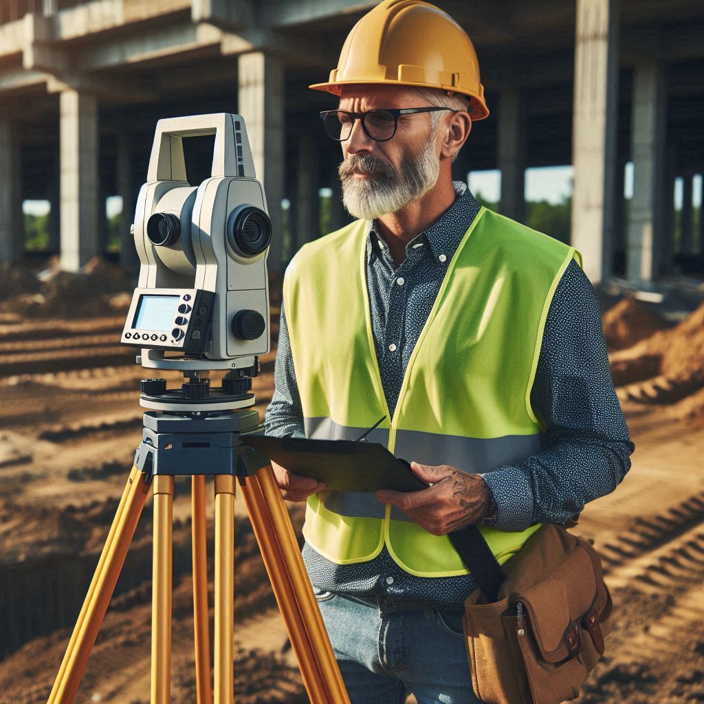
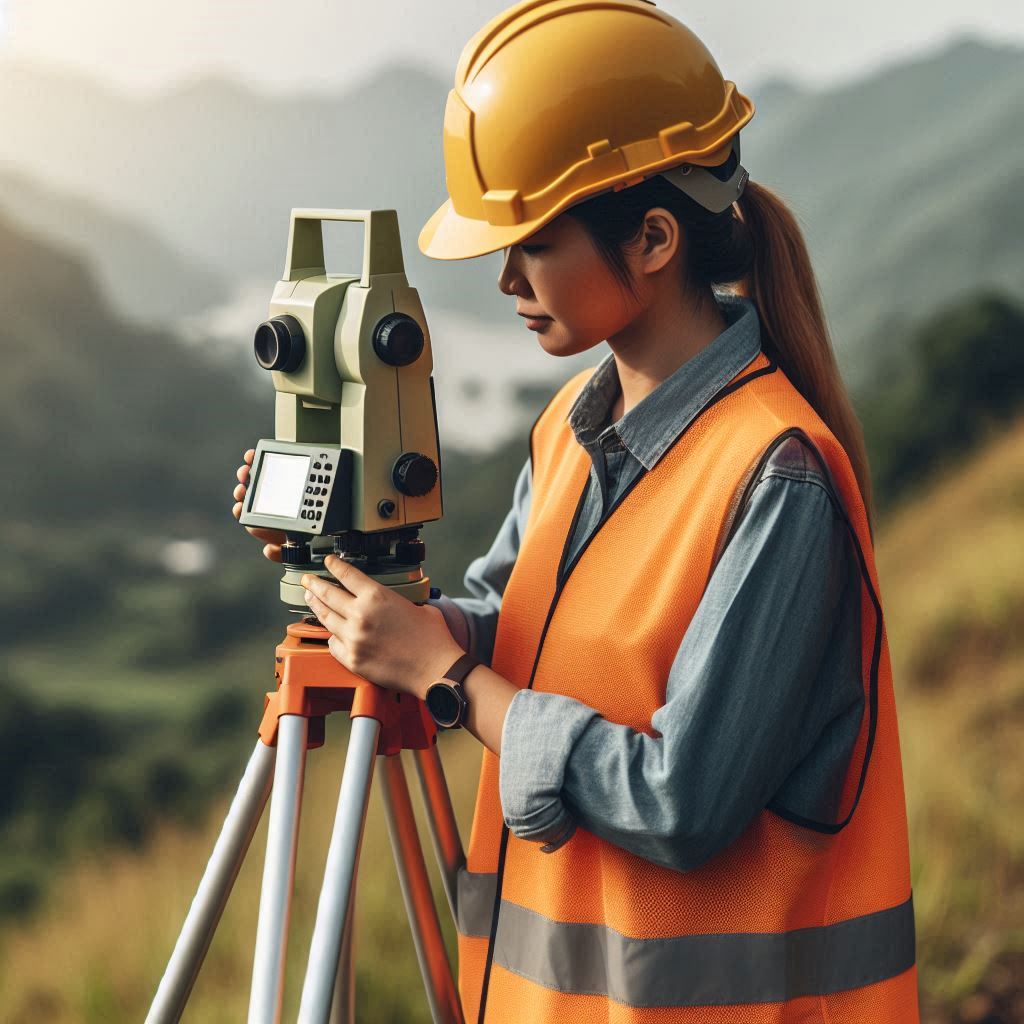
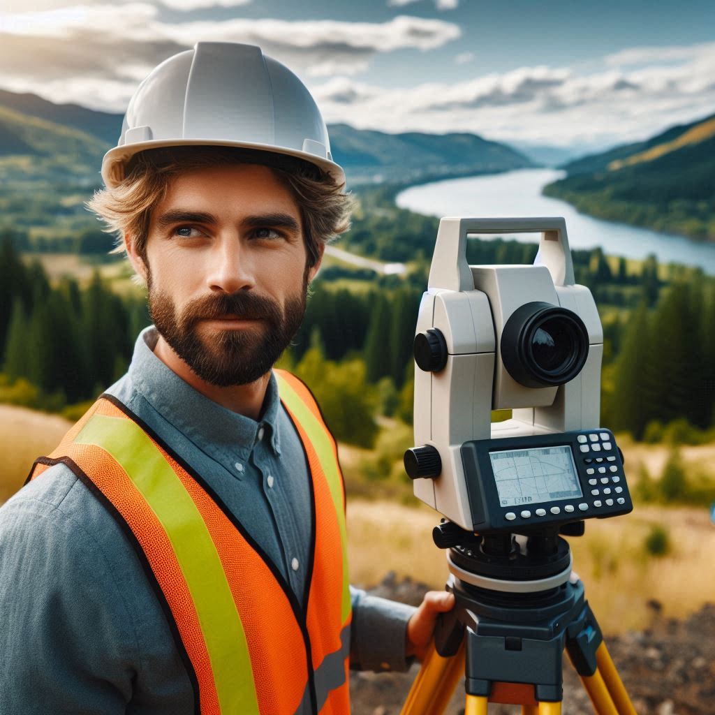
They operate total stations, which combine electronic theodolites with distance measuring equipment.
GPS receivers provide precise location data by connecting to satellites, while laser scanners capture detailed 3D data of surfaces and structures.
Technicians also use specialized software to analyze and interpret data, creating detailed maps and models.
Proficiency in both the tools and software is essential for successful data collection and analysis.
Read: Biomedical Engineering: Impact on Public Health
Educational Requirements
The Educational Paths Available to Become a Surveying and Mapping Technician
To become a surveying and mapping technician, you can follow several educational paths.
Many technicians start with an associate degree in surveying technology, geomatics, or a related field.
This degree provides foundational knowledge and skills required for the job.
Some individuals choose to pursue a bachelor‘s degree in surveying, mapping science, or civil engineering for more advanced opportunities.
Vocational or technical training programs also offer practical skills and knowledge relevant to this career.
The Importance of Relevant Coursework in Mathematics, Geography, and Technology
Relevant coursework is crucial for success in surveying and mapping.
Mathematics courses, especially in geometry and algebra, are essential for accurate measurement and data analysis.
Geography courses provide an understanding of spatial relationships and land features.
Technology courses are vital as they cover the use of surveying instruments and software.
A strong background in these subjects ensures that technicians can handle complex data and use advanced tools effectively.
Certifications or Licenses That May Be Required for This Career
Certifications and licenses can enhance career prospects for surveying and mapping technicians.
Some regions require certification to work as a professional technician.
For example, in the United States, obtaining certification from organizations such as the National Society of Professional Surveyors (NSPS) can be beneficial.
Additionally, some states may require a license for certain surveying activities.
These certifications and licenses demonstrate a technician‘s competence and adherence to industry standards.
Read: Biomedical Engineering: Industry Outlook 2024
Career Paths and Specializations
The Different Career Paths Available Within the Field of Surveying and Mapping
Within the field of surveying and mapping, various career paths are available.
Technicians can specialize in different areas based on their interests and expertise.
Some might work directly as surveying technicians, focusing on fieldwork and data collection.
Others may choose roles in mapping, where they convert data into usable maps and plans.
Additionally, positions in project management, quality control, or technical support are options for those looking to diversify their careers.
Potential Specializations Such as Land Surveying, Aerial Surveying, and GIS Mapping
Surveying and mapping offer several specializations.
Land surveying involves measuring and mapping land boundaries, which is crucial for property development and legal documentation.
Aerial surveying uses drones or aircraft to capture detailed images and data from the sky, which is useful for large-scale projects or inaccessible areas.
GIS (Geographic Information Systems) mapping focuses on creating and analyzing spatial data using specialized software, which supports various applications, from urban planning to environmental management.
Each specialization requires specific skills and knowledge tailored to its unique demands.
The Opportunities for Advancement and Professional Growth in This Field
Surveying and mapping technicians have ample opportunities for advancement and professional growth.
With experience, technicians can move into senior or supervisory roles, overseeing projects and teams.
Advanced certifications or degrees can lead to positions in management, consulting, or specialized technical areas.
Professionals can also explore roles in research and development or education, contributing to the field‘s growth and innovation.
Continuous learning and staying updated with technological advancements further enhance career prospects and open doors to new opportunities.
Read: The Impact of Aerospace Engineering on Modern Life
Salary and Job Outlook
Information on the Average Salary Range for Surveying and Mapping Technicians
Surveying and mapping technicians earn competitive salaries.
On average, they make between $45,000 and $65,000 annually, depending on experience, location, and education.
Entry-level positions typically start at the lower end of the range, while experienced technicians or those with specialized skills can earn higher salaries.
Geographic location also influences salary, with higher wages often found in urban areas or regions with high demand for surveying services.
The Job Outlook and Demand for Professionals in This Field
The job outlook for surveying and mapping technicians is positive.
Demand for these professionals is expected to grow steadily over the coming years.
As construction, infrastructure development, and land management projects increase, the need for accurate surveying and mapping remains strong.
Advances in technology and the expansion of geographic information systems (GIS) also drive demand for skilled technicians.
Overall, the field offers stable job prospects with opportunities for growth.
Any Factors That May Affect Salary Levels or Job Opportunities for Technicians
Several factors can impact salary levels and job opportunities for surveying and mapping technicians.
Geographic location plays a significant role, with salaries generally higher in areas with a high cost of living or greater demand for surveying services.
Experience and education also affect earning potential; technicians with advanced degrees or certifications often command higher salaries.
Technological advancements and industry demand can influence job opportunities, with specialized skills in emerging technologies potentially leading to higher compensation and better career prospects.
Read: Exploring Subfields of Aerospace Engineering
Work Environment
The Typical Work Environment for Surveying and Mapping Technicians
Surveying and mapping technicians often work in diverse environments.
Their work environments can range from outdoor field settings to indoor office spaces.
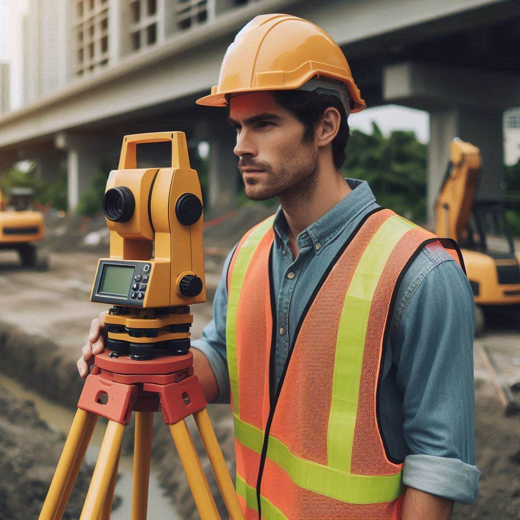
In the field, they may be exposed to various weather conditions and terrains while setting up equipment and taking measurements.
Indoors, they analyze data, create maps, and prepare reports using specialized software.
The job requires both physical activity and technical tasks, combining hands-on fieldwork with office-based analysis.
Transform Your Career Today
Unlock a personalized career strategy that drives real results. Get tailored advice and a roadmap designed just for you.
Start NowThe Types of Industries and Organizations That Employ These Professionals
Surveying and mapping technicians are employed across various industries and organizations.
Construction companies hire them to assist with site planning and development.
Engineering firms use their expertise for designing and implementing infrastructure projects.
Government agencies, including local, state, and federal entities, rely on technicians for land management and public works projects.
Additionally, real estate companies, utility companies, and environmental organizations employ these professionals for property assessments and resource management.
The Potential for Travel or Fieldwork in This Career
Travel and fieldwork are significant aspects of a surveying and mapping technician‘s career.
Technicians often visit project sites, which can require traveling to different locations, sometimes even nationally or internationally.
Fieldwork can involve traveling to remote or rugged areas, depending on the project‘s requirements.
While the extent of travel varies, fieldwork is a regular part of the job, providing technicians with diverse experiences and opportunities to work in various environments.
Skills and Qualities
The Key Skills and Qualities That Are Essential for Success as a Surveying and Mapping Technician
To succeed as a surveying and mapping technician, several key skills and qualities are essential.
Precision and attention to detail are critical, as the role requires accurate measurement and data collection.
Strong analytical skills help technicians interpret data and create detailed maps.
Technical proficiency with surveying instruments and software is also crucial.
Additionally, physical stamina and the ability to work in various weather conditions are important for fieldwork.
The Importance of Communication, Problem-Solving, and Technical Abilities in This Role
Communication is vital for surveying and mapping technicians.
They need to convey complex information clearly to team members, clients, and other stakeholders.
Problem-solving skills are essential for addressing issues that arise during data collection or analysis.
Technicians must troubleshoot equipment problems and adapt to changing conditions.
Technical abilities are equally important, as technicians use sophisticated tools and software to perform their tasks.
Mastery of these technologies ensures accurate data and successful project outcomes.
Any Additional Skills or Traits That May Be Beneficial for Technicians to Possess
Additional skills and traits that can benefit surveying and mapping technicians include a strong understanding of geographic information systems (GIS) and a background in environmental science.
Time management and organizational skills help in handling multiple tasks and meeting deadlines efficiently.
Adaptability is useful for working in diverse environments and dealing with unforeseen challenges.
Having a keen interest in technology and a commitment to continuous learning can also enhance career prospects and keep technicians updated with industry advancements.
Gain More Insights: Internship Tips for Mining Engineering Students
Professional Development Opportunities
The Opportunities for Continuing Education and Training in the Field of Surveying and Mapping
Continuing education and training are vital for staying current in surveying and mapping.
Technicians can enroll in specialized courses offered by technical schools or online platforms to enhance their skills.
Many institutions offer workshops and seminars focused on new technologies and methodologies.
Professional development programs, including advanced degrees or certifications, also provide opportunities to deepen expertise and keep pace with industry advancements.
The Benefits of Joining Professional Organizations or Obtaining Additional Certifications
Joining professional organizations offers significant benefits.
Organizations like the National Society of Professional Surveyors (NSPS) or the American Society for Photogrammetry and Remote Sensing (ASPRS) provide access to resources, industry news, and educational opportunities.
Membership often includes access to professional journals, conferences, and networking events.
Obtaining additional certifications, such as Certified Survey Technician (CST) or Geographic Information Systems Professional (GISP), can enhance career prospects and demonstrate a commitment to professional excellence.
These credentials often lead to greater job opportunities and higher salaries.
Any Networking or Mentorship Opportunities Available to Technicians
Networking and mentorship are valuable for career growth.
Professional organizations and industry conferences offer networking events where technicians can connect with peers, employers, and industry experts.
Mentorship programs, often facilitated through these organizations, provide guidance from experienced professionals.
Mentors can offer career advice, share industry insights, and help technicians navigate career challenges.
Engaging in these opportunities helps technicians build professional relationships, gain industry knowledge, and advance their careers.
Find Out More: How to Build a Strong Resume for Materials Engineering
Conclusion
The Key Points Discussed in the Blog Post
Surveying and mapping technicians are essential in many fields, including construction, real estate, and environmental management.
They utilize advanced technology to collect precise data, ensuring accurate land assessments and spatial information.
This expertise is crucial for planning, development, and resource management.
The Importance of Surveying and Mapping Technicians in Various Industries
These technicians play a vital role in urban planning, infrastructure development, and natural resource exploration.
Their work supports projects that shape communities and drive industry progress.
The accuracy and reliability of their data contribute to successful and sustainable outcomes in various sectors.
Encouragement to Consider a Career in Surveying and Mapping as a Rewarding and Impactful Profession
A career in surveying and mapping offers substantial opportunities for professional growth and personal satisfaction.
It is a field where your work directly impacts significant projects and societal advancement.
If you seek a career with meaningful contributions and lasting effects, consider exploring surveying and mapping.

